
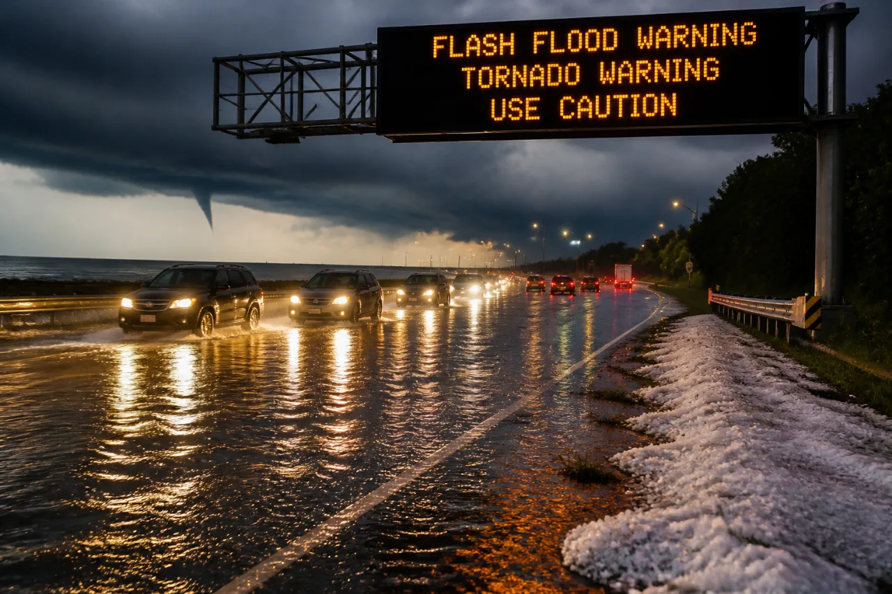
Parts of the Washington metropolitan area were hit Thursday by heavy rainfall, hail and strong winds as a tropical air mass moved through the region, creating hazardous conditions for evening commuters and prompting multiple warnings from the National Weather Service.
Storms, flooding and a waterspout
At one point, the NWS issued a tornado warning for sections of St. Mary’s and Charles counties after officials reported a waterspout offshore near the Wicomico River. Several afternoon and early-evening thunderstorms produced intense rainfall, with meteorologists noting rates of two to three inches per hour in some cells, significantly reducing visibility and causing ponding on roadways.
WTOP traffic reporter Dave Dildine logged reports of standing water and localized flooding on major commuter routes, including the Capital Beltway and I-270, which had already seen heavy rain earlier in the week. The storms also carried hail up to the size of quarters in places, according to the NWS.
“Rainfall rates of two to three inches per hour, so obviously visibilities are low,” WTOP Meteorologist Mike Stinneford said at about 4:30 p.m.
Watches and warnings in effect
The NWS issued several advisories for the region; officials emphasized that urban corridors — especially along I-95 — were at elevated risk for flash flooding because of repeated heavy downpours.
| Alert | Areas affected | Expiration |
|---|---|---|
| Flash Flood Warning | Southeastern Fauquier County; southwestern Prince William County; Stafford County (Va.) | Until 8:30 p.m. |
| Severe Thunderstorm Watch | Calvert County; St. Mary’s County | Until 10 p.m. (for the two counties) |
| Flood Watch | D.C. region urban areas | 2 p.m. to 7 p.m. Thursday |
- Heavy downpours created ponding and low visibility on freeway corridors during the afternoon commute.
- Hail up to quarter size was reported in portions of the region.
- Some power outages were possible as gusty winds moved through.
What to expect and local impact
By about 7 p.m., the severe thunderstorm watch for much of the D.C. area had been canceled, though watches remained in effect later into the evening for Calvert and St. Mary’s counties. Meteorologists forecast lingering showers and a chance of patchy fog overnight as the main line of storms eases.
“Lingering showers and storms will draw to a close this evening, a little bit of patchy fog overnight,” said 7News First Alert Meteorologist Steve Rudin.
For residents and motorists: if you encounter standing water on a road, turn around and choose an alternate route; avoid driving through flooded areas. Monitor updates from the National Weather Service and local traffic reports for changing conditions through the evening. Local radio and online outlets are carrying continuous updates for drivers and commuters.
As the region recovers from this round of severe weather, officials will be watching for any additional rounds of storms that could produce more flooding or cause tree and power-line damage.