
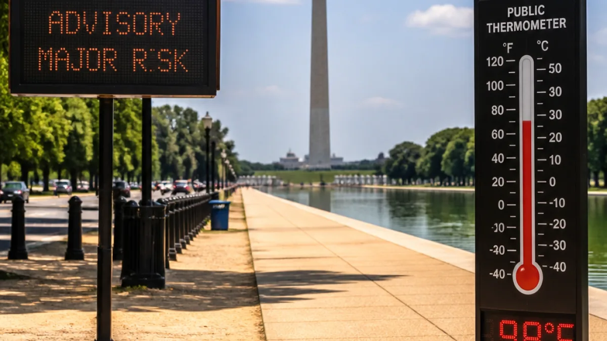
A significant heat surge will bake much of the Washington metropolitan area this week, with afternoon highs climbing into the upper 90s and approaching or reaching 100 degrees in many locations on Wednesday and Thursday, according to forecasts issued Tuesday morning.
What to expect this week
For Tuesday, conditions will be dry and sunny with afternoon readings in the lower to mid-90s and relatively comfortable humidity for mid-July. A light southwest breeze should keep conditions tolerable during the day, and overnight lows will remain warm — generally falling into the upper 70s.
Heat intensifies on Wednesday when an unusually hot air mass moves over the District, driven by westerly flow. Meteorologists say humidity will be lower than during the early July heat event, but temperatures will be just as high. Forecasters expect a widespread push of heat with little chance of thunderstorms on Wednesday, making the heat itself the main hazard.
"The National Weather Service heat risk reaches Major (level 3) across much of the region, with pockets of Extreme (level 4) heat possible,"
Timing and impacts
Authorities and weather services are highlighting the following impacts to watch for as the heat peaks midweek:
- Air-conditioned spaces will be in high demand; buildings without reliable cooling may become unsafe for vulnerable residents.
- Outdoor work and recreation will be risky during the afternoon hours; heat-related illness is a concern even where humidity is lower.
- While most of the period will be dry, any isolated afternoon storm could produce strong winds because of unstable, dry air aloft.
Here are the headline temperature expectations across the core of the region:
| Day | Expected afternoon highs | Heat index |
|---|---|---|
| Tuesday | Lower to mid-90s | Comfortable for mid-July |
| Wednesday | Approaching 100° | Around 105° in places |
| Thursday | Upper 90s to ~100° | Near or above 100° in many areas |
How residents can prepare
Local residents should take practical steps to reduce heat risk: limit strenuous outdoor activity during the hottest part of the day, seek air-conditioned environments, stay hydrated, check on neighbors and family members who are elderly or medically vulnerable, and follow guidance from health and emergency officials. Employers and organizers of outdoor events should review heat-safety plans and consider shifting schedules or increasing rest and water breaks.
While the forecast is confident about the midweek heat, meteorologists say uncertainty grows late in the week and into the weekend. That period may bring either dangerous sustained heat or a return of stronger storms, depending on how the overall pattern evolves. Residents should monitor local National Weather Service products and official channels for updates.
I'll continue to follow developments and report on any changes to the forecast and local advisories that affect Washingtonians and surrounding communities.