
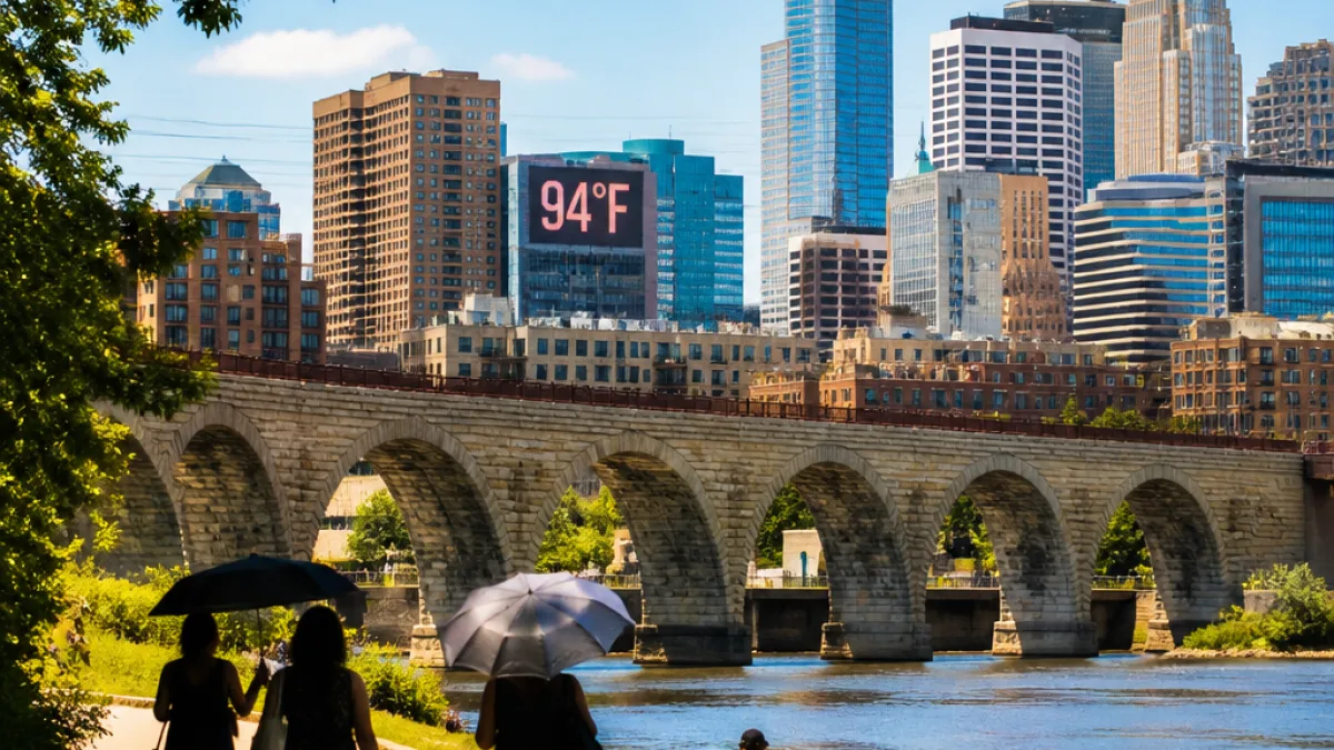
MINNEAPOLIS — A sunny Saturday should offer warm but manageable conditions across the Twin Cities, with afternoon highs expected in the upper 80s and only an extremely small chance of an isolated shower, according to local forecast information.
Hotter pattern on the horizon
Weather models and local forecasts indicate that the warmth will intensify through the weekend and into next week. Forecasters say highs will reach the 90s each day across the Twin Cities and a large portion of the surrounding area for the coming work week. Moisture levels are not projected to surge dramatically; dew points are expected to remain mainly in the mid to upper 60s at times rather than climbing into the 70s.
Little to no measurable precipitation is currently expected over the next several days, so outdoor plans may be affected more by heat than by rain.
| Period | Expected high | Dew point range |
|---|---|---|
| Saturday | Upper 80s | Mid–upper 60s |
| Next week (work week) | 90s daily | Lower–upper 60s |
What this means locally
For residents across Hennepin, Ramsey and surrounding counties, the forecast shift means prolonged periods of high temperatures and largely dry conditions. That can increase demand for cooling options and affect outdoor workers, recreation, and community events.
Officials often emphasize common-sense precautions during multi-day heat episodes. Consider these steps to reduce heat-related risks:
- Limit strenuous outdoor activity during the hottest afternoon hours.
- Stay hydrated and check on vulnerable neighbors and family members.
- Use air-conditioned public spaces if you lack reliable cooling at home.
While weekend conditions should remain mostly sunny with only an isolated-shower possibility, the dominant story for the Twin Cities and much of the metro area is a sustained stretch of high temperatures through the work week.
News Block will continue to monitor forecasts and local advisories as the heat develops.