
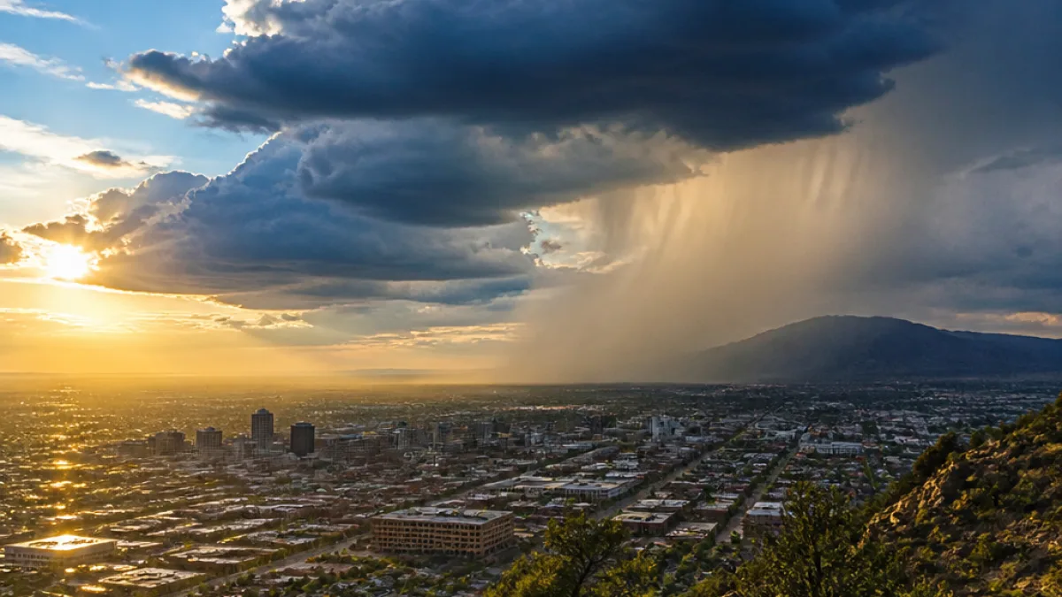
An active monsoon pattern is expected to bring daily showers and thunderstorms across New Mexico through the middle of next week as deep moisture remains in place over the state, forecasters said.
Storms build over mountains, spread into valleys
Forecasts indicate that thunderstorms will form over the mountains by early afternoon and then push into adjacent valleys during the evening hours. The system is not expected to markedly change day to day through midweek.
Temperatures will remain seasonably warm to hot, with afternoon highs generally in the 80s and 90s. Increased cloud cover and daily storm activity will provide localized cooling during afternoons.
Upper-level pattern and wind flow
Forecasters say an upper-level ridge is forecast to shift toward the Midwest while maintaining easterly flow into New Mexico. That flow will continue to support scattered to numerous afternoon and evening thunderstorms each day.
What residents should expect
- Daily rounds of mountain thunderstorms that typically develop by early afternoon.
- Storms spreading into nearby valleys during evenings, producing brief heavy rain and localized cooling.
- Afternoon highs in the 80s and 90s, with more cloud cover than recent days.
Storm timing — afternoon development followed by evening expansion into lower elevations — is typical of New Mexico’s monsoon pattern. While the forecast does not specify severe weather outcomes, thunderstorm activity can bring brief heavy rain, frequent lightning, gusty winds and localized flooding in susceptible areas.
| Timing | Expected conditions |
|---|---|
| Early afternoon | Thunderstorms develop over mountains |
| Evening | Storms spread into valleys; localized heavy rain possible |
| Through midweek | Little day-to-day change; daily storm chances persist |
Practical guidance
Residents and visitors should monitor local forecasts and be prepared for sudden changes in weather in the afternoons and evenings. Common-sense precautions include:
- Avoiding outdoor activities during developing storms, especially at higher elevations.
- Seeking shelter immediately if lightning is observed.
- Being cautious driving in heavy rain — reduce speed and avoid flooded roads.
Local National Weather Service offices and media outlets will provide updates as the pattern evolves. For the latest watches and warnings, check official weather channels before travel or outdoor plans.
This forecast covers the general statewide pattern; localized conditions can vary considerably between mountain ranges, valleys and urban areas.