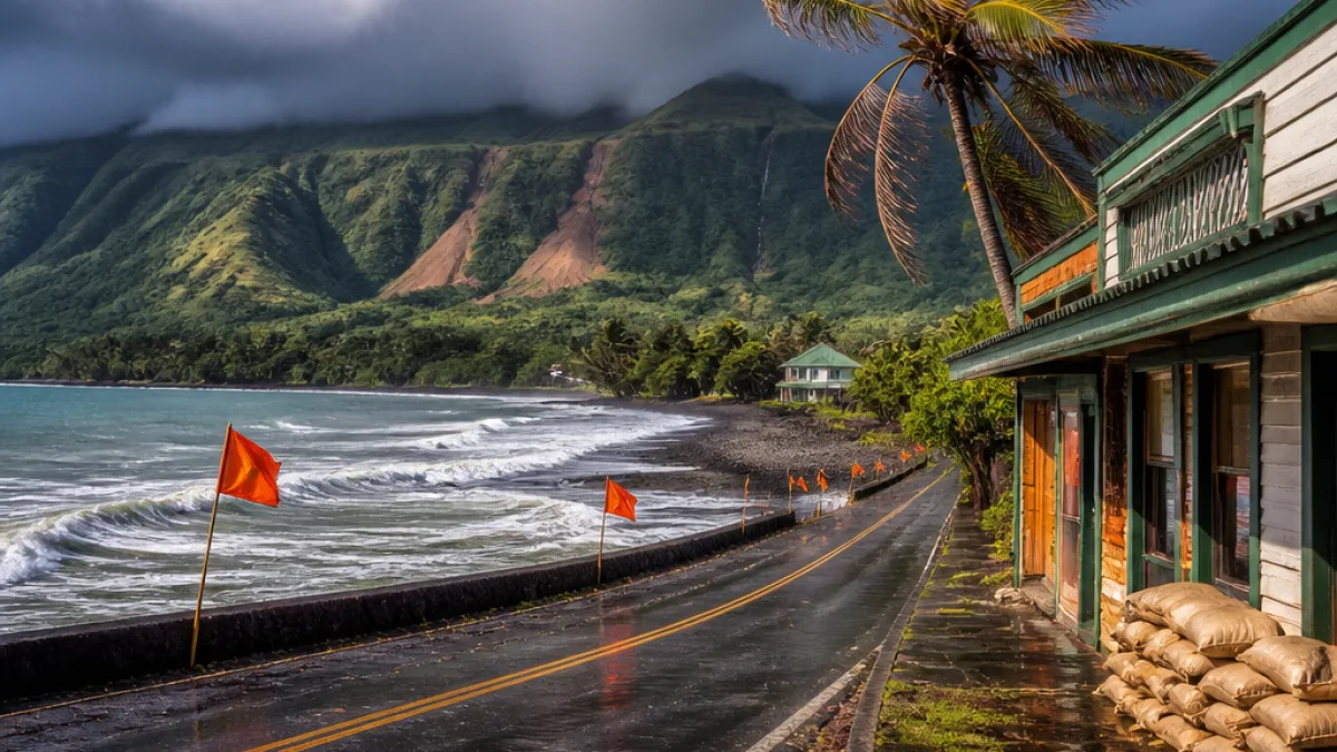
HONOLULU — Tropical Storm Moke advanced across the central Pacific Saturday, threatening to deliver more heavy rain and strong gusts to the Big Island of Hawaii, officials said. The storm formed Friday and by early Saturday was located about 470 miles (755 kilometers) southeast of Hilo, moving west-northwest at about 12 mph (19 kph) with maximum sustained winds near 50 mph (85 kph), according to the National Hurricane Center.
Big Island remains most at risk
Forecasters said the Big Island is likely to experience the greatest impacts from Moke, particularly the windward and southeast slopes that remain saturated and vulnerable after Hurricane Lala’s flooding and wind damage a week earlier. Officials cautioned that while Moke is not expected to make a direct landfall on the islands, its rain bands and gusty winds could still produce dangerous conditions.
"There will still be impacts, especially to the windward and southeast sides of the Big Island, but it will probably be a little bit more limited than what we saw with Lala," said Casey Oswant, a meteorologist with the National Weather Service in Honolulu.
Hurricane Lala caused widespread damage across parts of the Big Island, downing trees, sweeping structures off foundations, and dumping historic rainfall — with some locations measuring more than 40 inches during that event. One storm-related death was reported after Lala. Many roads and bridges were damaged or left blocked by mud and rock.
Rain and wind forecasts
Officials advised residents to monitor forecasts closely and prepare for hazardous conditions, including life-threatening flooding and mudslides, especially in steep or recently saturated terrain. Rainfall guidance released by the National Weather Service projected:
- Big Island (southeast and windward areas): 5 to 10 inches, isolated totals up to 15 inches
- East Maui: up to 4 inches in spots
- Other islands: generally 1 to 2 inches
| Area | Expected Rainfall |
|---|---|
| Southeast & windward Big Island | 5–10 in (isolated 15 in) |
| East Maui | Up to 4 in |
| Other islands | 1–2 in |
Moke’s tropical-storm-force winds extended far from the center, and forecasters said the system would move near the islands through early Tuesday before continuing west. Even if wind speeds do not reach hurricane strength, heavy rain on already compromised slopes increases the risk of flash floods and debris flows. The National Hurricane Center also warned of the potential for dangerous rip currents along exposed shores.
What residents should know
Emergency officials urged people to stay informed through local advisories and prepare for localized flooding, unstable roadways and power interruptions in vulnerable areas. Given recent damage from Lala, communities on the Big Island should pay particular attention to evacuation guidance and avoid travel on roads that remain blocked or unstable.
As Moke approaches, county and state emergency managers will be assessing infrastructure and resource needs for response and recovery. The storm underscores ongoing vulnerabilities across the islands as they cope with back-to-back tropical systems within a short period.
Local residents should follow updates from the National Weather Service in Honolulu and the National Hurricane Center, and heed any advisories issued by Hawaii County and other local authorities.