
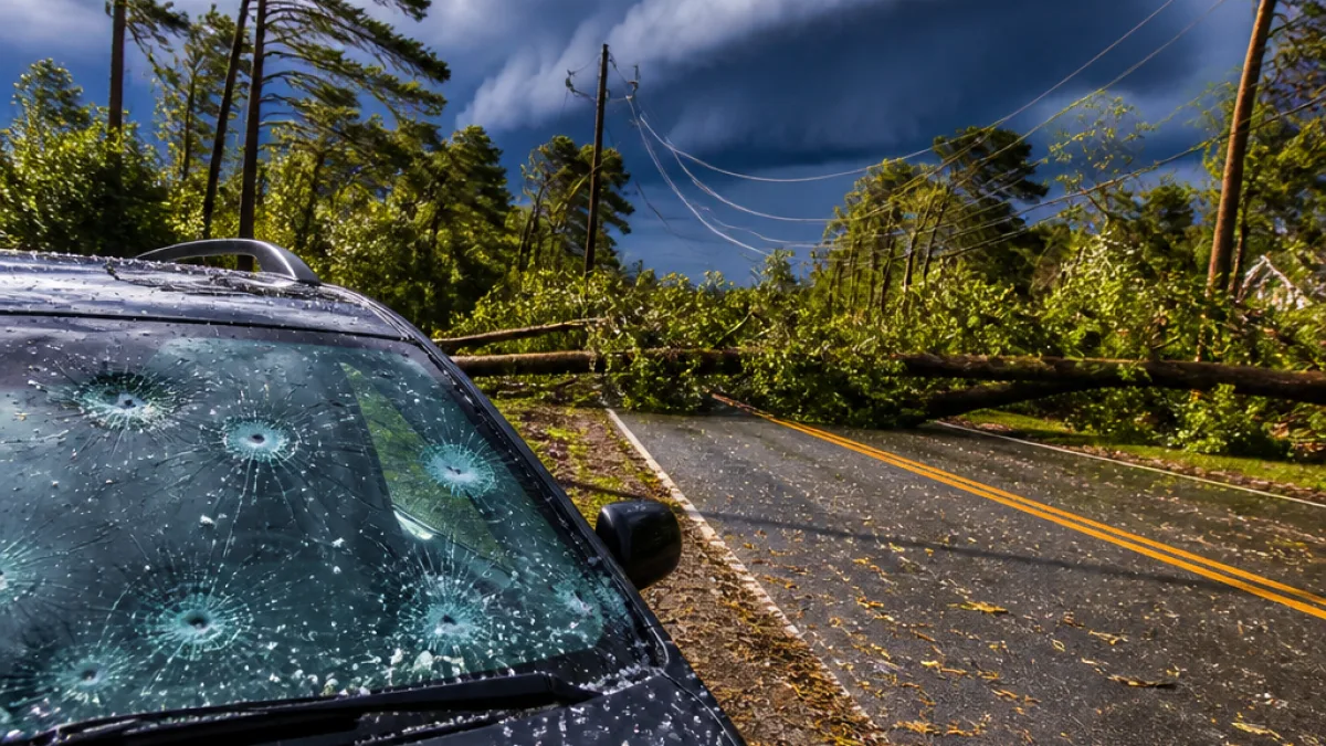
The National Weather Service in Wilmington issued an updated severe thunderstorm warning Saturday afternoon for parts of southeastern North Carolina, advising residents to prepare for damaging winds and penny-sized hail.
Storm details and areas affected
At 2:40 p.m., the NWS said a line of severe thunderstorms was moving southeast at about 25 mph and that the warning would remain in effect until 3:30 p.m. Counties under the advisory include Bladen, Columbus and Robeson.
"At 2:40 p.m., severe thunderstorms were located along a line extending from Tolarsville to near Fairmont, moving southeast at 25 mph. Expect wind damage to trees and power lines."
The agency listed numerous communities potentially impacted by the event, including Lumberton, Elizabethtown, Fairmont, Bladenboro and Fair Bluff. Local institutions named in the warning included Bladen Community College and Robeson Community College.
What the NWS recommends
The NWS urged people in the warning area to move to an interior room on the lowest floor of a building for protection from wind-driven debris and to report any hail or wind damage to the Wilmington office at 1-800-697-3901.
- Shelter inside away from windows and doors.
- Avoid using corded phones or plumbing during thunderstorms.
- Wait 30 minutes after the last thunder before going outdoors.
Lightning and broader safety context
Forecasters reminded residents that lightning risk rises as storms approach and peaks while they pass overhead. Nationally, lightning results in fatalities each year, and the NWS reiterates standard precautions: seek enclosed shelter, avoid high ground and isolated tall objects if caught outdoors, and stay clear of water and metal objects when thunder is audible.
| Parameter | Forecast/Report |
|---|---|
| Wind gusts | Up to 60 mph |
| Hail size | About 0.75 inch (penny-sized) |
| Movement | Southeast at 25 mph |
Emergency managers and utility crews commonly prepare for downed trees and power lines under these conditions; residents should keep a safe distance from any lines that have fallen and report outages to their providers. The NWS also asked for reports of hail or wind damage to help forecasters evaluate storm impacts.
News Block will update this bulletin as more information becomes available from the NWS and local officials.