
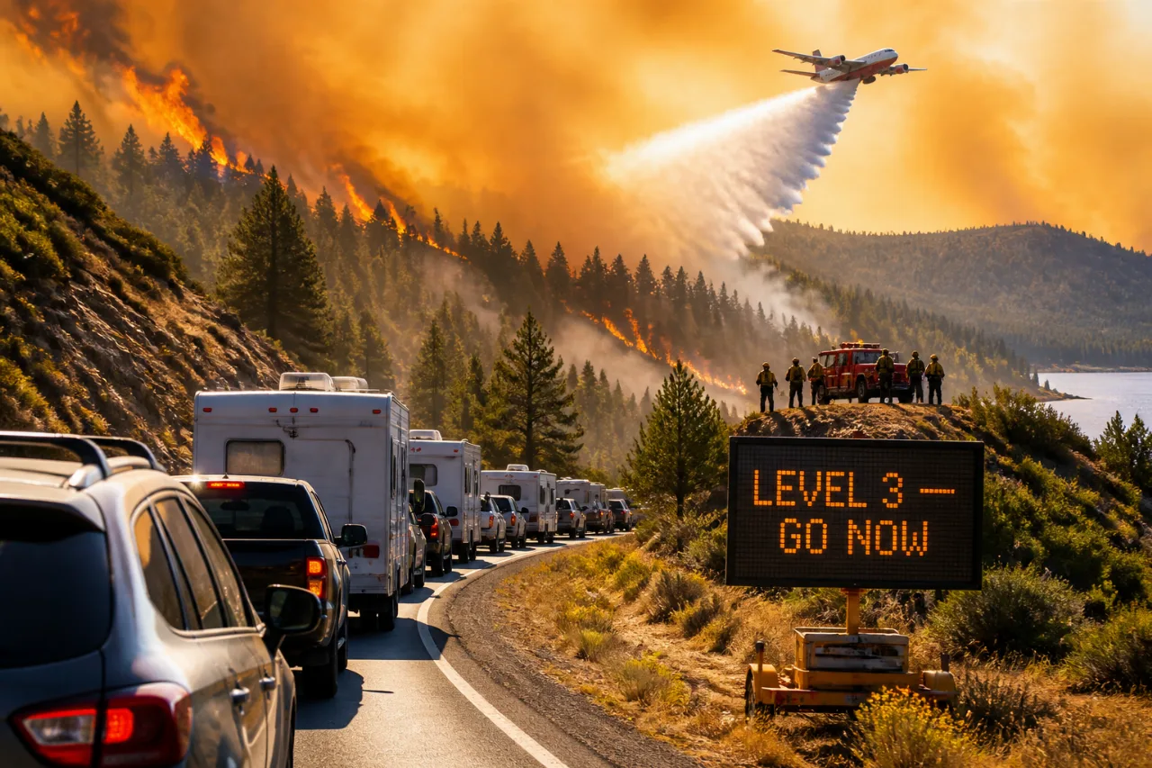
Thunderstorms that moved across northeast Oregon the night of July 6-7 sparked several wildfires that have since forced urgent evacuations and sent additional firefighting resources to the region.
Immediate evacuations and mounting concerns
On July 7 and 8, multiple fires started near the small community of Greenhorn in Baker County and around Anthony Lake in Union County. Officials issued Level 3 — “Go Now” evacuation orders for the city of Greenhorn and for areas between Gorham Butte and Bear Butte near Anthony Lakes Mountain Resort. Crews are working to establish containment perimeters for several active incidents.
"The combination of predicted winds, low relative humidities, and fuel loading in the area is a concern for firefighters," a U.S. Forest Service statement said.
Fire managers say the Salmon Fire, which began July 7 about 1.5 miles north of Greenhorn, has merged with the Greenhorn Fire and was reported at roughly 1,000 acres on July 9. Responders described the fire as burning in dead and downed fuels, including subalpine fir.
Resources mobilized and surrounding incidents
Given the rapid spread and the potential threat to structures, the U.S. Forest Service mobilized additional resources and requested a Complex Incident Management Team to coordinate the larger response. Mutual aid included task forces from other counties.
- Structural task forces: Engines, water tenders and firefighters dispatched from Lane and Yamhill counties and Portland Fire & Rescue.
- Incident management: A Complex Incident Management Team ordered to help manage multiple fires.
- Nearby fires: Olivia Butte Fire (approx. 40 acres) and Cow Meadows Fire (about 9 acres) reported northeast and southwest of Greenhorn, respectively.
| Fire | Approx. Size | Location |
|---|---|---|
| Salmon/Greenhorn complex | ~1,000 acres | 1.5 miles north of Greenhorn |
| Olivia Butte Fire | ~40 acres | ~2 miles northeast of Greenhorn |
| Cow Meadows Fire | ~9 acres | Southwest of Greenhorn |
| Anthony Fire | Not yet contained | Northeast of Anthony Lakes Mountain Resort |
What residents need to know
Officials have set varying evacuation levels around Anthony Lake to match evolving risk:
- Level 3 — Go Now: Areas between Gorham Butte and Bear Butte.
- Level 2 — Be Set: Areas around Dutch Flat Creek and Antelope Peak.
- Level 1 — Be Ready: Areas surrounding Anthony Lake south of Anthony Lakes Highway.
Residents in threatened zones should follow local evacuation orders, prepare to leave with essential items, and monitor updates from the U.S. Forest Service and county emergency managers. Road conditions and access may change rapidly as crews and equipment move into fire areas.
As hot, dry weather and gusty winds increase fire danger across parts of Oregon this summer, these incidents underscore the continuing risk posed by lightning and lightning-sparked fires in remote forested terrain. Firefighters continue to prioritize life and property protection while working to establish control lines and protect communities downwind of active burns.