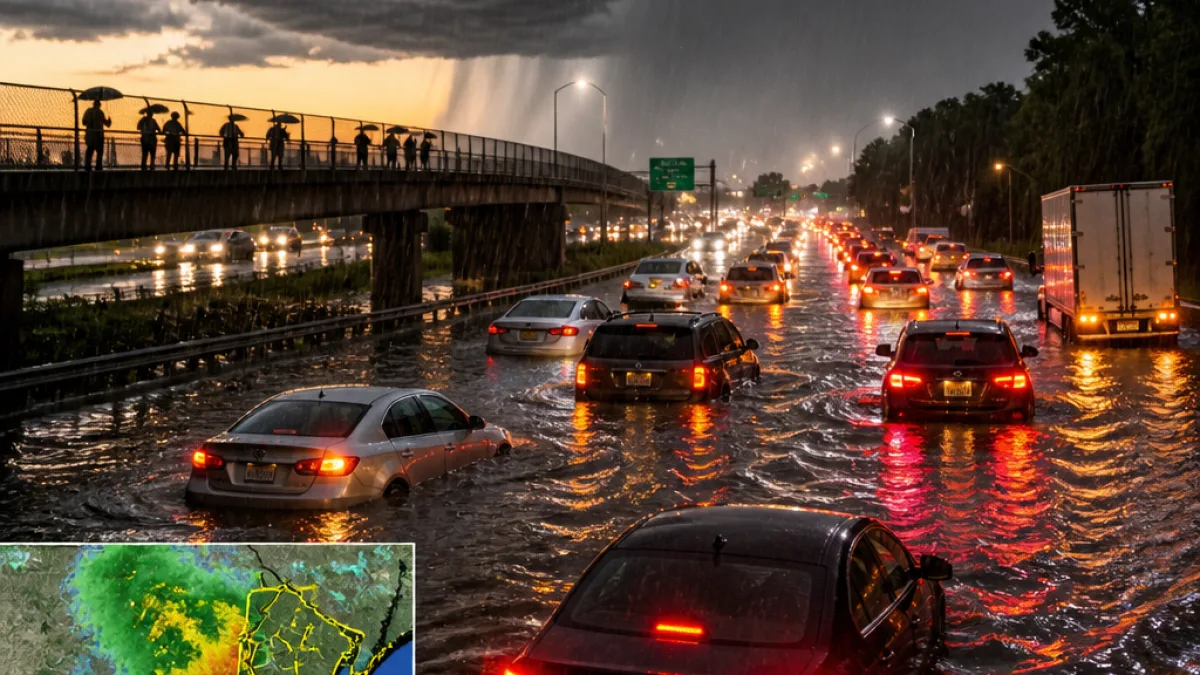
Forecasters on Thursday afternoon raised the potential for flash flooding across a wide stretch of northern and central New Jersey, warning that heavy, moisture-laden thunderstorms could develop along a cold front and cause travel disruptions during the evening commute.
The National Weather Service's Mount Holly forecast office upgraded parts of the state from a "slight" to a "moderate" risk of excessive rainfall — the second-highest category on a four-tier scale — citing the potential for widespread and significant flash flooding.
"This means that instances of flash flooding could be fairly widespread and potentially significant within this area," the forecast office said in its update.
What residents can expect
Forecasters say some storm cells could become intense quickly, producing torrential rainfall in short bursts. The weather service warned that the strongest storms may drop between 3 to 5 inches of rain in some locations by Thursday night, which could overwhelm drainage systems and lead to rapid roadway flooding.
- Timing: Thunderstorms are expected this afternoon and into the evening commute.
- Rainfall: Locally heavy downpours of 3–5 inches are possible in saturated areas.
- Wind and tornado threat: Some storms could produce damaging winds and isolated tornadoes, with a slightly higher tornado risk in the southern half of the state.
- Flood watch: A flood watch was expanded to include 18 counties, effective from noon Thursday through 2 a.m. Friday.
Threats and practical impacts
The National Weather Service said warm temperatures and high humidity will provide fuel for thunderstorms developing along the approaching cold front. The agency cautioned that cells capable of very high rainfall rates could make travel hazardous.
| Threat | Details |
|---|---|
| Flash flooding | Moderate risk across much of northern and central New Jersey; 3–5 inches possible |
| Damaging winds | Strong storms could bring gusts and downed branches |
| Tornadoes | Isolated tornadoes possible; southern half of state at slightly higher risk |
Officials warned that heavy rain at rates of 2 to 3 inches per hour could occur in the strongest cells, increasing the chance of flooded roadways and travel delays. The Weather Prediction Center and local forecast offices emphasized that the evening commute may be particularly vulnerable to disruption as storms intensify.
How to prepare
Residents in the affected areas should monitor local forecasts, allow extra travel time if heading out this evening and avoid driving through flooded roadways. Emergency managers typically urge people to move to higher ground if flooding threatens and to avoid unnecessary travel during heavy rainfall.
The situation remains fluid; the National Weather Service and local emergency agencies may issue additional watches or warnings as storms develop.
News Block will continue to follow updates from the National Weather Service and local officials and will provide new information as it becomes available.