
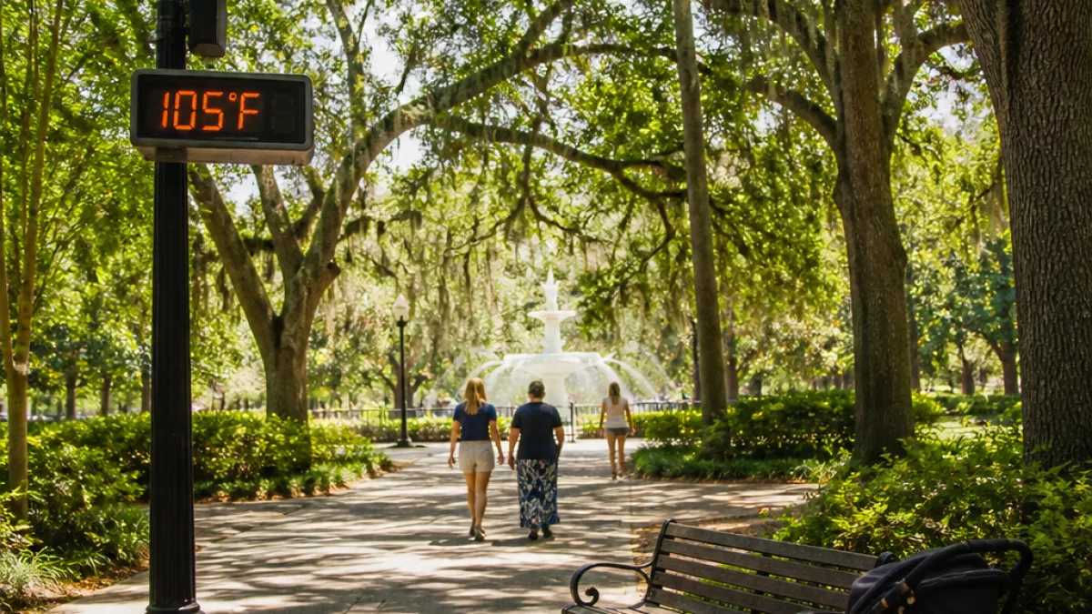
SAVANNAH, Ga. — Hot and humid conditions will dominate Southeast Georgia and the Lowcountry this weekend, with widespread heat index values expected to climb into the triple digits during the daytime hours, prompting a Heat Advisory from 11 a.m. to 7 p.m. both Saturday and Sunday.
What to expect this weekend
Saturday will begin humid, with morning temperatures in the 70s and 80s before rising quickly into the upper 90s by the afternoon. Heat index values — which combine air temperature and humidity to estimate how hot it feels — are forecast to reach levels that increase the risk of heat-related illness for people spending time outdoors.
- Advisory hours: 11 a.m.–7 p.m. (Saturday and Sunday)
- Afternoon temps: upper 90s, with heat index in the triple digits
- Rain chances: a few evening showers possible Saturday; better chances for rain and storms early next week
- Storm risk next week: some storms could become strong to severe, with heavy rain, gusty winds and frequent lightning
Health and community impacts
When heat index values reach triple digits, medical experts warn that prolonged exposure can lead to heat exhaustion or heat stroke, particularly for older adults, young children, people with chronic medical conditions and those working or exercising outdoors. Local parks, recreation departments and outdoor-event organizers should plan for the worst of the heat during the advisory hours and consider rescheduling or adding shaded and cooled rest areas.
Cooling centers and public drinking-water stations are typical measures local governments use during heat waves; residents should check municipal and county websites or local media for announcements about available resources. Those who must be outdoors are advised to stay hydrated, take frequent breaks in air-conditioned spaces and avoid strenuous activity during peak heat hours.
| Day | Key forecast point |
|---|---|
| Saturday | Upper 90s daytime temps; heat index in triple digits; Heat Advisory 11 a.m.–7 p.m. |
| Sunday | Similar hot, humid conditions; continued Heat Advisory during daytime |
| Early next week | Increased shower and thunderstorm chances; some storms may be strong to severe |
Planning ahead
Temperatures are expected to drop slightly Monday and Tuesday before climbing back into the mid-90s by the following weekend. Residents should monitor the forecast for updated timing and any expansion of advisories or the issuance of severe-weather warnings. Local broadcasters and the National Weather Service will provide the latest watches and warnings should severe storms develop early next week.
For now, treat the advisory as a reminder to prioritize hydration, limit outdoor exertion in the middle of the day, and keep an eye on those most vulnerable to extreme heat.