
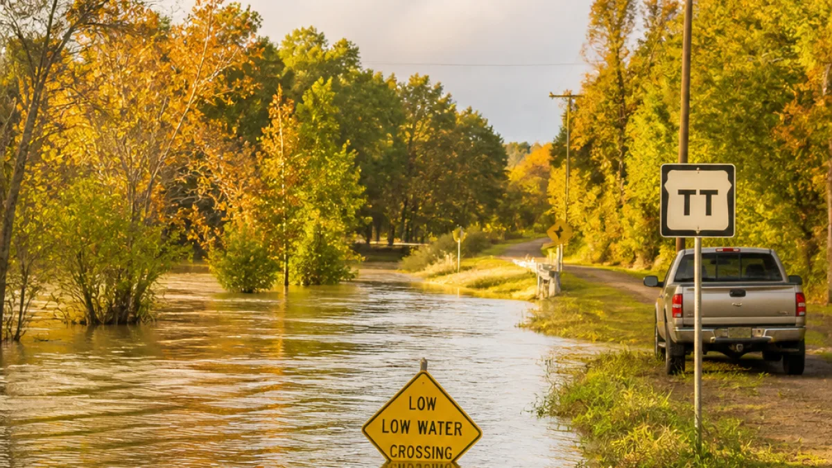
Storm runoff leaves low-lying roads and communities at risk
The National Weather Service in Springfield issued a Flood Warning at 5:04 p.m. CDT on July 10, saying flooding caused by excessive rainfall was ongoing across portions of east-central and south-central Missouri and would remain a concern through 10:00 p.m. CDT that night. Local emergency and transportation officials reported water over roadways after 2 to 6 inches of rain fell in the warned area.
Counties named in the advisory include Phelps in east-central Missouri and Dent in south-central Missouri. The warning picked out several communities and low-water crossings that have already seen impacts: Bangert, Sligo, Howes Mill and Boss, along with Crooked Creek at Highway TT and Norman Creek at County Road 4220.
- When: Through 10:00 p.m. CDT, July 10.
- Where: Portions of east-central and south-central Missouri (Phelps and Dent counties highlighted).
- Rainfall: 2–6 inches reported across the warned area.
"Turn around, don’t drown when encountering flooded roads. Many flood deaths occur in vehicles."
What this means for Springfield-area residents
Although the warning names towns outside Springfield city limits, the storm system that produced the heavy downpours moved across the broader region. Flash flooding in rural valleys and at low-water crossings can cut off neighborhoods and farm roads quickly, creating hazards for commuters, agricultural operations and first responders. Local transportation departments already reported water over roadways at several crossings.
Authorities advise motorists not to attempt driving through standing or moving water. Even shallow water over road surfaces can stall engines or sweep vehicles off the road. Residents should give crews room to work at flooded sites and expect limited access on smaller county roads until waters recede and damage assessments are complete.
Data points and local impacts
The advisory noted the following specific locations and conditions:
| County | Noted locations | Impacts reported |
|---|---|---|
| Phelps | Bangert, Sligo | Flooding of low-lying roads and crossings |
| Dent | Howes Mill, Boss | Roadway inundation; low-water crossings affected |
Flooding can persist after rainfall ends because streams and creeks take time to rise and fall. The National Weather Service advised residents to monitor local forecasts and road conditions and to check weather.gov/safety/flood for guidance.
Actions residents should take
Local emergency managers recommend the following steps until waters subside and officials clear roads:
- Avoid driving through flooded roadways; find an alternate route.
- Keep children and pets away from swollen creeks, ditches and culverts.
- Report hazardous road conditions to county or state transportation authorities.
News Block will continue to monitor updates from the National Weather Service and local agencies and provide new information if the warning is extended or if additional impacts are reported.