
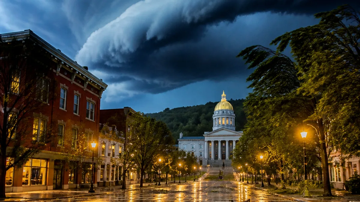
The National Weather Service is warning residents across Vermont to prepare for severe thunderstorms tonight, Tuesday, July 14, with the main threat window between 8 p.m. and 3 a.m. Officials say storms could produce damaging straight-line winds, large hail, frequent cloud-to-ground lightning, and the possibility of a tornado or two.
What to expect and when
Forecasters briefed Tuesday afternoon said wind gusts may reach as high as 70 mph in some areas. Localized heavy downpours — generally between 0.5 and 1 inch — could cause brief flooding, and there is at least a small risk of flash flooding across parts of northern Vermont.
| Threat | Details |
|---|---|
| Timing | 8 p.m. to 3 a.m. Tuesday night |
| Wind gusts | Up to 70 mph possible |
| Hail | Large hail possible |
| Tornadoes | Low probability; higher north of Montpelier |
| Heavy rain | 0.5–1 inch with localized flooding |
Where the tornado risk is higher
In a 4:48 p.m. briefing, the National Weather Service gave a 5%–9% chance of a tornado occurring north of Montpelier. South of Montpelier, the probability falls to 2%–4%. Those percentages reflect a low but nonzero risk; residents should remain alert and follow local warnings.
- Secure outdoor furniture and loose objects before the storms arrive.
- Close windows and doors to reduce wind and water damage.
- Never touch a downed power line or anything in contact with one.
- If a tornado warning is issued, move to a basement or an interior room without windows.
Vermont Emergency Management recommends taking simple preparatory steps now to limit damage and keep people safe. In addition to securing objects outdoors, residents should have a battery-powered radio or other means to receive weather alerts if power or cell service is interrupted.
Emergency managers also cautioned that even storms without tornadoes can produce dangerous straight-line winds capable of toppling trees and power lines. Those conditions can cause widespread power outages and blocked roadways, complicating overnight travel and response.
If you encounter a downed line, treat it as energized and maintain a safe distance. Call your local utility and emergency services to report hazards. If you must travel, allow extra time and avoid driving through flooded roadways.
News Block will continue to monitor briefings from the National Weather Service and Vermont Emergency Management and will post updates as conditions change.