
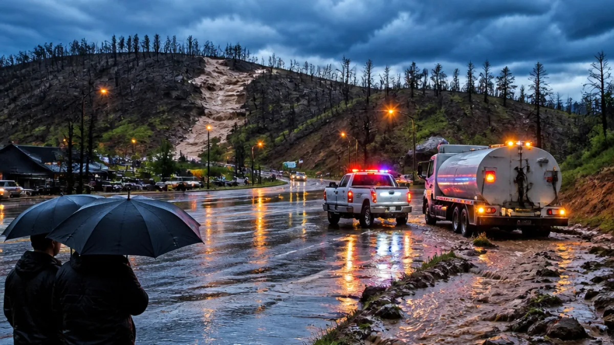
FLAGSTAFF — After a slow start to the 2026 monsoon, the National Weather Service is forecasting a more substantial and wetter pattern for northern Arizona in the coming days. The shift promises relief for dry landscapes and firefighters, but officials warn it also raises the threat of flash flooding and hazardous runoff, particularly in areas scorched by recent wildfires.
Relief for drought and fire crews
Forecasters say this next surge of moisture follows two dry winters and a lackluster monsoon last year. The incoming rains should supply the parched region with much‑needed water and help crews continue containment and repair work on recent incidents such as the Pocket Fire.
“This is looking like the real kind of robust start to the monsoon, and it is a bit later than average. I’d say it’s about a week late,” said Megan Taylor, a meteorologist with the National Weather Service.
Fire officials expressed cautious optimism that the wetter pattern will allow them to shift focus toward suppression repair and rehabilitation in areas affected by recent burns.
“We’re feeling extremely confident that we’ve turned a corner,” a fire official said during a morning briefing.
Flood, runoff and debris‑flow concerns
Meteorologists and emergency managers emphasize that monsoon rainfall is not risk‑free. Heavy downpours over burned terrain can produce rapid runoff because intense fires sometimes leave soil unable to absorb water — a condition known as hydrophobicity. That means it can take comparatively little rain to trigger a flash flood or a debris flow.
- Who’s most at risk: communities below recent burn scars, narrow canyons, and low‑lying urban areas prone to funneling runoff.
- Main hazards: flash flooding, debris flows, lightning and localized wind gusts with storms.
- Preparedness steps: keep emergency alerts enabled and assemble an evacuation go‑bag in case conditions deteriorate.
| Expected Benefit | Associated Danger |
|---|---|
| Moisture for vegetation and reservoirs | Flash flooding in burn areas |
| Assistance for firefighting and suppression repair | Rapid runoff and debris flows |
Forecasters also noted the seasonal pattern could strengthen into late summer, with the possibility of deeper moisture surges later in August or September if tropical cyclone activity develops in the eastern Pacific or nearby regions. That would bring periods of heavy rain but would also increase the window for hazardous storms.
Residents in northern Arizona should monitor local forecasts, heed evacuation orders if issued, and avoid driving or walking through flooded roadways. Emergency managers recommend storing important documents in a waterproof container, securing loose outdoor items, and identifying a safe meeting spot with family in case of sudden evacuations.
As the monsoon unfolds, public safety officials will be balancing the welcome rainfall against the new set of risks it brings — a reminder that in Arizona weather can be both lifeline and hazard in the span of a single storm.