
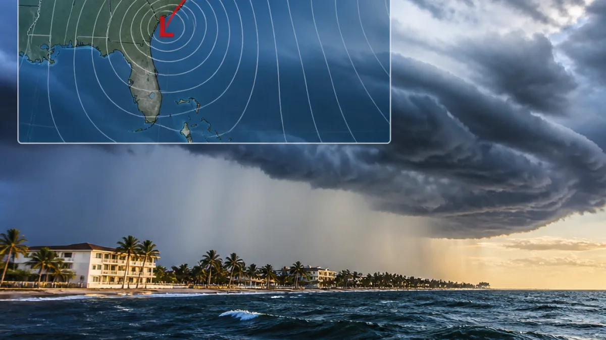
What changes for residents: Prepare for wetter, windier afternoons across much of Florida starting Friday and continuing into next week as a low-pressure area in the northeastern Gulf moves northeast along or near the Southeast coast, the National Hurricane Center said Wednesday.
Forecast and chance of development
The National Hurricane Center said in its 2 p.m. tropical outlook that an area of low pressure is expected to form during the weekend over the northeastern Gulf of Mexico and could move slowly northeastward near the southeastern U.S. coast by early next week. The NHC assigned the disturbance a 20% chance of becoming a tropical cyclone over the next seven days.
“Subsequent slow development of this system is possible while it moves slowly northeastward over the northeastern Gulf and or near the southeastern coast of the United States by early next week,” forecasters said.
Local impacts and timing
The National Weather Service in Melbourne said a trough will form over the weekend across the peninsula, with a surface high pushing south of Central Florida. That pattern will bring west to southwest winds and draw additional moisture in from the Gulf.
As a result, the NWS expects an increase in rain and thunderstorm chances, with scattered to numerous showers and storms each afternoon from Friday through Tuesday. Forecasters said convection will be driven mainly by the west coast sea breeze colliding with the eastern peninsula’s sea breeze; storms should weaken as they move offshore overnight.
- Timing: heavier afternoon storms likely Friday through Tuesday
- Primary drivers: developing low pressure in the northeastern Gulf, sea breeze interactions
- Immediate risk: increased rainfall, gusty west-southwest winds, and typical summer thunderstorm hazards
What the NHC is also watching
In its outlook, the NHC noted a separate tropical wave east of the Cape Verde Islands in the eastern tropical Atlantic that has shown some organization. Forecasters said additional slow development is possible for that system over the next couple of days as it moves west-northwestward.
| Feature | Area | Development chance (7 days) |
|---|---|---|
| Low-pressure area expected this weekend | Northeastern Gulf / near SE U.S. coast | 20% (NHC) |
| Tropical wave east of Cape Verde | Eastern tropical Atlantic | Possible slow development |
Local TV weather outlets have offered slightly different short-term probabilities for the Gulf disturbance; a Sarasota-based report cited a 10% chance of development in its area of responsibility, while emphasizing the expectation of rain and breezy conditions.
Practical guidance
Residents should monitor local forecasts and be ready for typical summer storm impacts: brief heavy rainfall leading to localized flooding, frequent lightning, and gusty winds. Boaters and beachgoers should be aware that conditions can change quickly when a Gulf disturbance approaches.
For the most current information, consult the National Hurricane Center's tropical outlooks and your local National Weather Service office.
— Mateo Rivera, Florida correspondent