
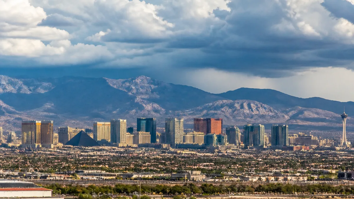
Southern Nevada can expect a break from the most extreme heat as monsoon moisture arrives from the south, forecasters said Saturday. After one more dry day, rain chances rise through the work week and afternoon highs should ease back from the triple digits by late week.
What to expect this week
Weather models show moisture surging north out of Arizona, producing increased cloud cover and scattered storms across parts of Southern Nevada. Meteorologists forecast a gradual rise in rain probability and a corresponding dip in daytime temperatures by the weekend.
- Sunday: high of 109, low of 89; 10% chance of rain.
- Monday: high of 105, low of 88; 30% chance of rain.
- Tuesday: high of 105, low of 89; 30% chance of rain.
- Wednesday: high of 108, low of 89; 20% chance of rain.
- Thursday: high of 107, low of 87; 20% chance of rain.
- Friday: high of 102, low of 85; 40% chance of rain.
- Saturday: high of 100, low of 85; 40% chance of rain.
- Next Sunday: high of 101, low of 85; 30% chance of rain.
| Day | High / Low (°F) | Rain Chance |
|---|---|---|
| Sunday | 109 / 89 | 10% |
| Monday | 105 / 88 | 30% |
| Tuesday | 105 / 89 | 30% |
| Wednesday | 108 / 89 | 20% |
| Thursday | 107 / 87 | 20% |
| Friday | 102 / 85 | 40% |
| Saturday | 100 / 85 | 40% |
| Sunday (next) | 101 / 85 | 30% |
Where storms are most likely
Model guidance indicates heavier thunderstorms will favor higher terrain, with the mountains around Mt. Charleston showing the greatest thunderstorm probability — roughly 50%–60% for storms at times this week. Lower elevations, including the Las Vegas Valley, are expected to see scattered showers and cloud cover, with occasional stronger storms depending on how moisture and instability evolve.
For residents and visitors, the incoming moisture offers a modest reprieve from extreme heat: afternoon highs that have been well above normal are expected to drop into the low 100s by the end of the week. City and county operations that monitor heat impacts will be watching trends as storm chances increase.
Practical implications
- Clouds and storms can temporarily reduce heat but may bring brief heavy downpours or gusty winds—drivers should use caution during sudden storms.
- Mountain thunderstorms may produce localized impacts near Mt. Charleston and other high-elevation recreation areas.
- Outdoor plans should remain flexible through the week as rain chances increase to as much as 40% on some days.
This forecast was provided by local meteorologists and reflects model trends showing monsoon moisture moving north from Arizona into Southern Nevada over the coming days.