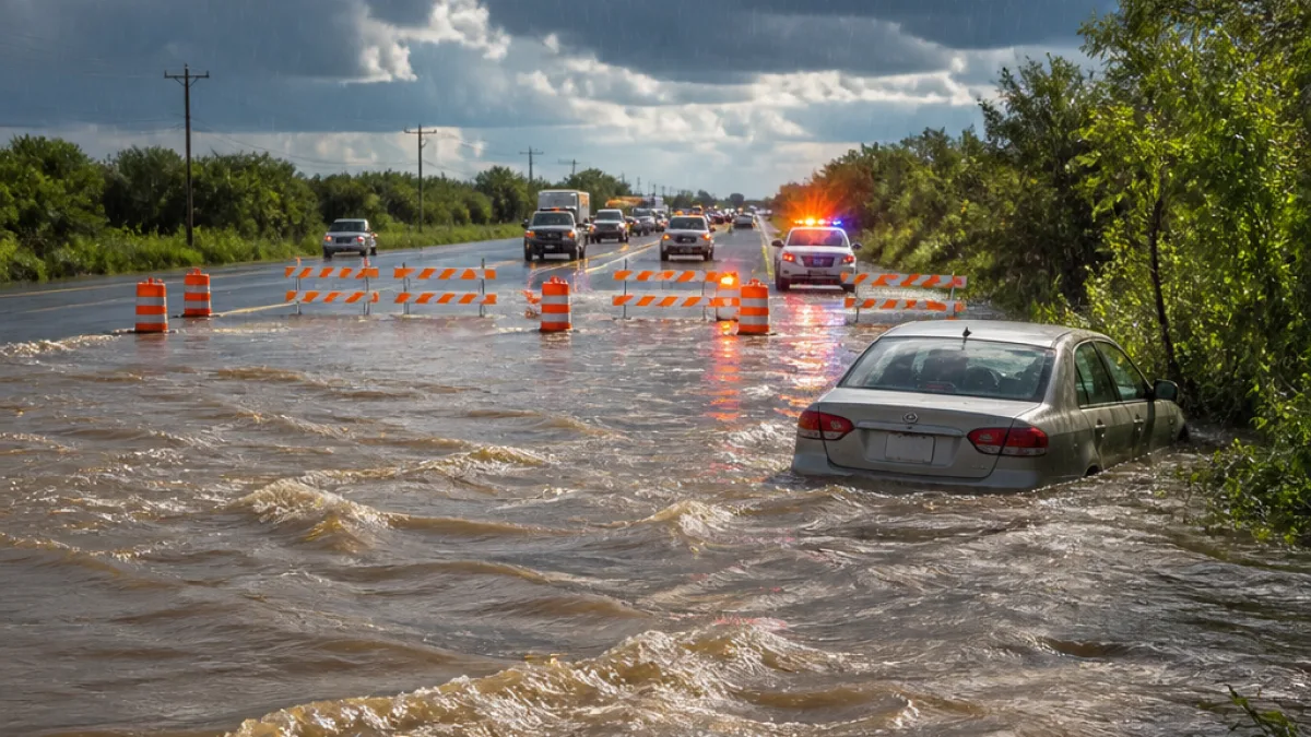
The National Weather Service has issued a High Risk outlook for excessive rainfall across parts of South-Central Texas as successive storms threaten to deliver additional torrential rain into Wednesday morning.
Current warnings and areas of greatest concern
Flash flood warnings remain in effect through 8 a.m. Wednesday for portions of Medina, Uvalde, Bandera and Real counties, where authorities have reported ongoing life-threatening flooding. Radar and ground reports show many locations in those counties already received heavy totals in the past 24 hours.
- Widespread rainfall totals of 3 to 16 inches have fallen in the last day in the region.
- Additional downpours could produce as much as 2 to 4 inches per hour overnight.
- Some areas along the U.S. Highway 90 corridor, the western Hill Country, southern Edwards Plateau and parts of the Rio Grande region could receive an extra 10 to 20 inches where storms repeatedly pass over the same spots.
Why the threat is especially dangerous now
Forecasters say the new rainfall would fall on an already saturated landscape. Radar estimates indicate locations in Medina, Uvalde and Bandera counties have recorded more than a foot of rain during recent days, contributing to numerous flooded roads, swift-water rescues and rapidly rising creeks and rivers. Additional slow-moving thunderstorms overnight raise the prospect of considerable to locally catastrophic flash flooding.
"Another round of torrential rain could trigger life‑threatening flash flooding," officials warned.
What residents should know and do
Local officials advise residents in warned areas to monitor weather alerts, avoid driving through flooded roadways and be prepared to move to higher ground. Emergency responders continue to deal with submerged roads and water rescues; additional rainfall will complicate response and recovery efforts.
| Item | Reported value |
|---|---|
| Rain in past 24 hours (range) | 3–16 inches |
| Potential hourly rainfall overnight | 2–4 inches/hour |
| Possible additional totals in hardest-hit spots | 10–20 inches |
While the highest threat is focused on areas west of San Antonio, the flood risk extends across much of South‑Central Texas, including parts of the city itself. The exact location of the heaviest rain will depend on where thunderstorms repeatedly train over the same neighborhoods and river basins.
Residents should follow guidance from the National Weather Service and local emergency management for updates, road closures and evacuation notices. Keep a battery-powered radio or a charged phone handy for alerts, and never attempt to drive through standing or moving floodwater.
News Block's local team will continue to monitor updates from the NWS and county officials as conditions evolve.