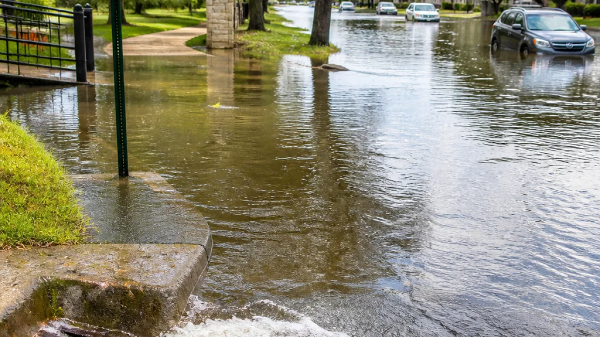
SAN ANTONIO — Heavy downpours swept across San Antonio on Saturday, producing widespread street flooding and prompting residents to document conditions across neighborhoods from Southtown to the Far West Side.
Rainfall and reports
The KSAT Weather Authority reported that western areas of Bexar County received between 4 to 5 inches of rain. The station collected numerous photos and videos through its KSAT Connect platform showing standing water in streets and yards.
- Residents posted multi-angle video from South Alamo Street in Southtown showing water pooling along curbs and intersections.
- User submissions included images from the Far West Side, Tobin Hill and multiple Northwest Side locations.
- One user captioned a photo from a neighborhood walking trail:
“This is my backyard at Tezel Trails walking trail King William”
Local impacts and public safety
Street flooding can create hazardous driving conditions, damage vehicles and overwhelm storm drains even when flooding is localized. The influx of user-submitted imagery gave city residents real-time views of areas affected and can help officials identify problem spots, though the station did not report specific road closures or emergency responses.
How residents documented the storm
KSAT encouraged readers to submit their photos and videos using the KSAT Weather Authority app or KSAT Connect web page. The submission process lets users upload media, choose a channel and category, and add descriptions for potential on-air or online features.
| Area | Reported Rainfall / Notes |
|---|---|
| Western Bexar County | 4–5 inches reported by KSAT Weather Authority |
| Southtown (South Alamo St.) | Video posted showing street flooding |
For San Antonio and Bexar County leaders, episodes of heavy rain like Saturday's highlight ongoing challenges with urban drainage and the need for residents to remain aware of changing weather. Officials and local media typically advise motorists to avoid driving through standing water and to follow alerts from the National Weather Service and local authorities.
KSAT continues to collect and publish user submissions, offering a crowd-sourced view of neighborhood conditions that can be useful for both residents and city crews assessing localized flooding and infrastructure stress.