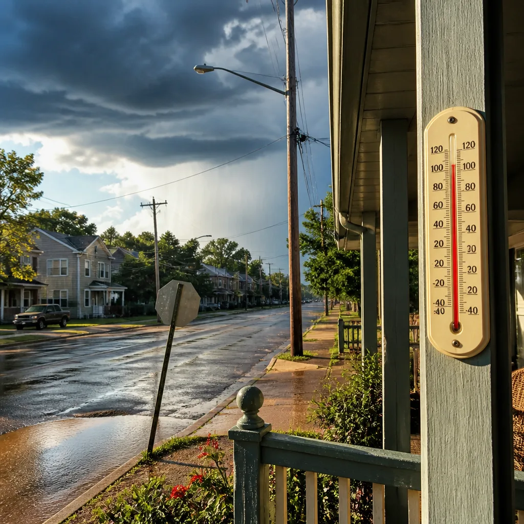
Parts of the Southeast faced a final day of intensifying heat Saturday as a long‑running ridge of high pressure moved west, allowing a surge of moisture to move in and spark thunderstorms later in the day and into Sunday.
End of the immediate heat but a wet, stormy transition
Forecasters described Saturday as the concluding phase of the current iteration of what has been called the Great Heat Wave of 2026. Temperatures remained well above normal during the day, but the center of the high pressure area was shifting west, setting the stage for convective showers and thunderstorms as humidity rose.
"This is it!! This is the final day of this version of the Great Heat Wave of 2026. It was only ‘part 1.'"
Models and local meteorologists indicated most locations would be dry for much of the day, with convection beginning to fire closer to the evening and suppertime hours. Scattered to numerous showers and storms were expected late Saturday night and Sunday as a cold front moved south across the region.
Hazards and rainfall expectations
Any thunderstorms that develop carry the potential for frequent lightning, strong gusts and intense, localized rainfall. Meteorologists cautioned that rainfall totals will vary significantly depending on where individual storm cells develop; however, weekend accumulations could be substantial in places where storms train or slow down.
- Timing: Mostly dry early Saturday; thunderstorm chances increase late afternoon into evening and continue into Sunday.
- Main threats: Lightning, gusty winds, heavy downpours that could produce localized flooding and ponding on roadways.
- Short-term outlook: Transition toward high pressure Monday, with temperatures rebounding to the upper 90s by mid to late next week.
Officials released model guidance showing 48‑hour rainfall projections across the period from 8 a.m. Saturday through 8 a.m. Monday and an additional run covering 8 p.m. Saturday through 8 p.m. Monday; those runs highlighted the potential for pockets of heavier accumulation but also significant spatial variability.
| Period | Forecast |
|---|---|
| Saturday (daytime) | Mostly dry for many; late‑day storm initiation likely |
| Saturday night–Sunday | Scattered to numerous storms; heavy downpours possible |
| Monday | Transition to high pressure; drying trend begins |
Safety guidance
Because storms may produce prolific lightning and sudden heavy rain, residents and visitors were urged to:
- Move indoors at the first sign of thunder or lightning and avoid open water or tall isolated objects.
- Expect sudden reductions in visibility and ponding on roadways during intense downpours; drive cautiously and avoid flooded roads.
- Monitor local forecasts and advisories for updates on storm timing and any flood or severe thunderstorm warnings.
Forecasters noted that while Monday should mark a return toward more stable conditions, temperatures were expected to climb back into the upper 90s by the latter half of next week as high pressure rebuilds.