
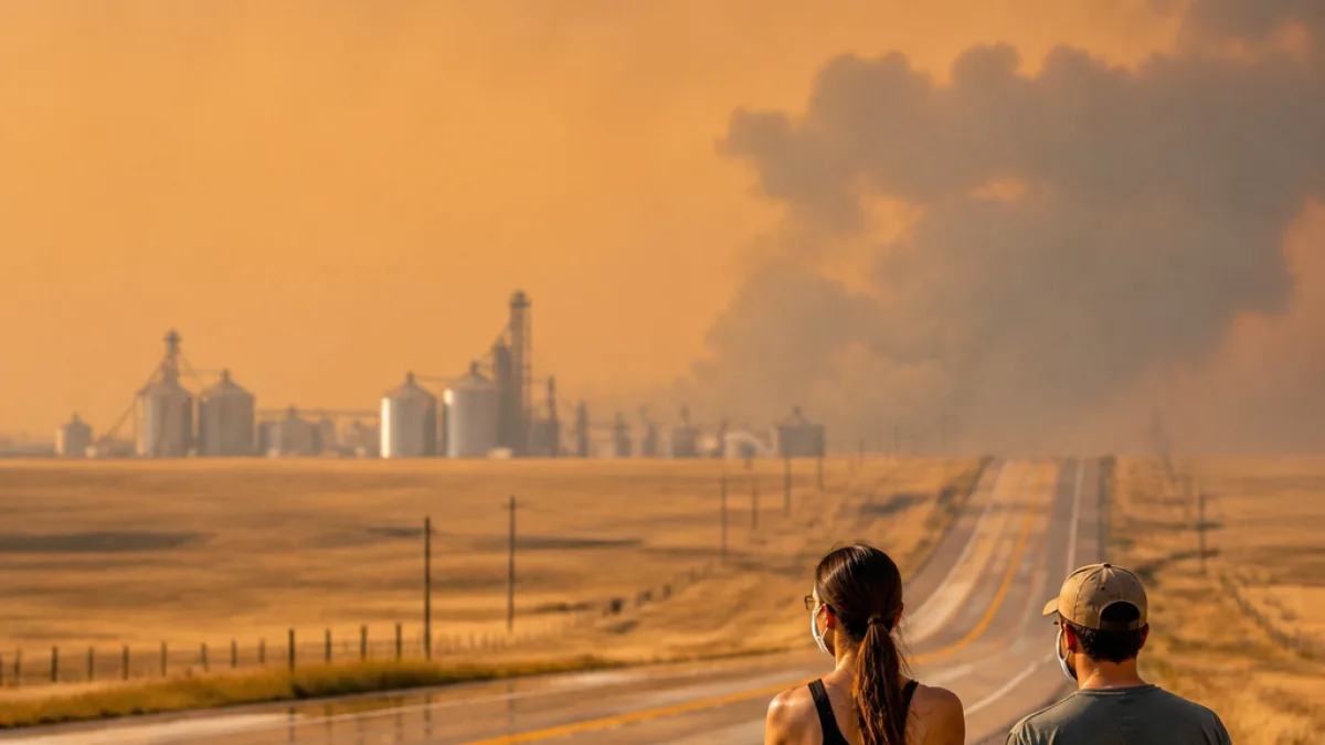
Heat advisories remain in effect through 10 p.m. Thursday for much of southeastern North Dakota, with heat index readings close to 100°F expected this afternoon. At the same time, dense wildfire smoke drifting into the region is producing unhealthy to hazardous air at times, particularly across the Red River Valley and areas east.
What’s causing the smoke and where it’s worst
Forests fires burning around the Boundary Waters and Arrowhead region of northeastern Minnesota are the primary source of the smoke. A near-stationary front across the Northern Plains has kept easterly to southeasterly winds in place, effectively transporting waves of smoke into eastern North Dakota and northwest Minnesota.
Officials say smoke concentrations have fluctuated through the day and additional pulses are expected tonight. Minnesota is under an Air Quality Alert through 11 a.m. Friday. North Dakota does not issue a statewide alert, but residents here will still see degraded air quality.
Short-term weather threats
South of the stationary front, hot conditions persist through Thursday. North of the front — in northeast North Dakota and northern Minnesota — there is potential for isolated severe storms this evening. Any storm that develops could produce:
- hail up to golf-ball size
- winds approaching 60 mph
- a possible tornado
Later Friday, a low pressure system moving through the region should shift winds from easterly to southerly and eventually northwest. That change will help reduce the flow of smoke from northeastern Minnesota and should improve air quality through Friday and into the night, although some residual haze is likely.
| Timing | Impact |
|---|---|
| Through 10 p.m. Thursday | Heat advisories, heat index near 100°F |
| Through 11 a.m. Friday (Minnesota) | Air Quality Alert; periods of very unhealthy to hazardous smoke |
| Thursday evening | Isolated severe storms possible in NE ND and N MN |
Advice for residents
Local health and weather authorities recommend taking precautions while smoke or extreme heat affects your area. If air becomes hazardous, avoid prolonged outdoor exertion; keep doors and windows closed; run air conditioning on recirculate if available; and use your vehicle’s recirculation setting while driving. For heat, stay hydrated, limit strenuous activity during the hottest hours and check in on vulnerable neighbors.
Watch local forecasts and updates from public health agencies for any changes in air quality status or the severe-weather threat as conditions evolve tonight.