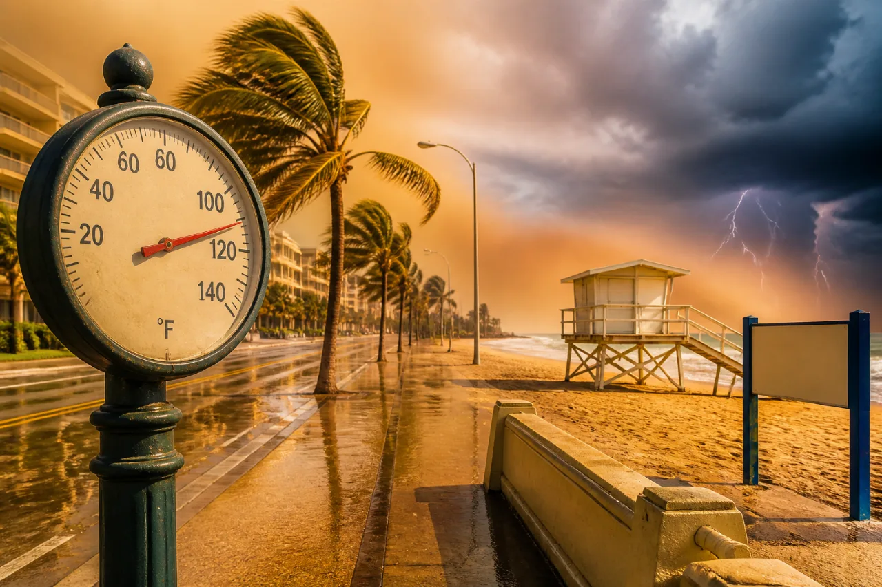
Forecasters have designated Friday, July 10, as a Gulf Coast Weather Impact Day for parts of Southwest Florida because of a combination of extreme afternoon heat and the potential for isolated but intense evening thunderstorms.
Heat risk through the afternoon
Expect heat index values to top 105°F across the region during the afternoon, with heat and humidity dominating the first half of the day. Officials say rising feels-like temperatures will likely prompt additional heat advisories for communities in the late afternoon and early evening.
High heat index values increase the risk of heat-related illness. Precautions include staying hydrated, limiting prolonged outdoor exertion during peak heating, checking on vulnerable neighbors and pets, and following any local advisory or cooling center announcements.
Evening storm threat — isolated but potentially severe
Although overall storm coverage is not expected to be widespread, any storm that develops Friday night could be vigorous. Forecast guidance highlights the potential for:
- Strong, damaging winds
- Hail
- Frequent lightning
- Torrential rainfall leading to localized flash flooding
Forecasters point to the presence of the Saharan Air Layer as a complicating factor: it can limit overall storm coverage while simultaneously increasing the intensity of storms that do form.
“Impact Day: Yellow symbol flags likely disruptions”
The Gulf Coast Weather team uses visual cues in forecasts — a yellow triangle for Impact Days and a red symbol for Alert Days — to signal when weather may disrupt routines or pose safety risks. Impact Days are intended to give residents an at-a-glance indication that conditions could interfere with commutes, outdoor plans or work.
| Time window | Main hazard |
|---|---|
| Morning–Afternoon | Heat index values exceeding 105°F |
| Evening | Isolated severe thunderstorms (winds, hail, lightning, heavy rain) |
Safety guidance
- During the heat: drink plenty of fluids, avoid strenuous outdoor activity in midafternoon, wear lightweight clothing, and use air-conditioned spaces when possible.
- If severe storms occur: seek substantial shelter immediately, avoid open areas and isolated tall objects, and stay away from flooded roadways.
- Keep weather alerts enabled on phones and monitor local forecasts for any upgrades to advisories or warnings.
News Block will continue to monitor forecasts and advisories for the Gulf Coast and will relay updates if heat advisories or severe thunderstorm warnings are issued for the area.