
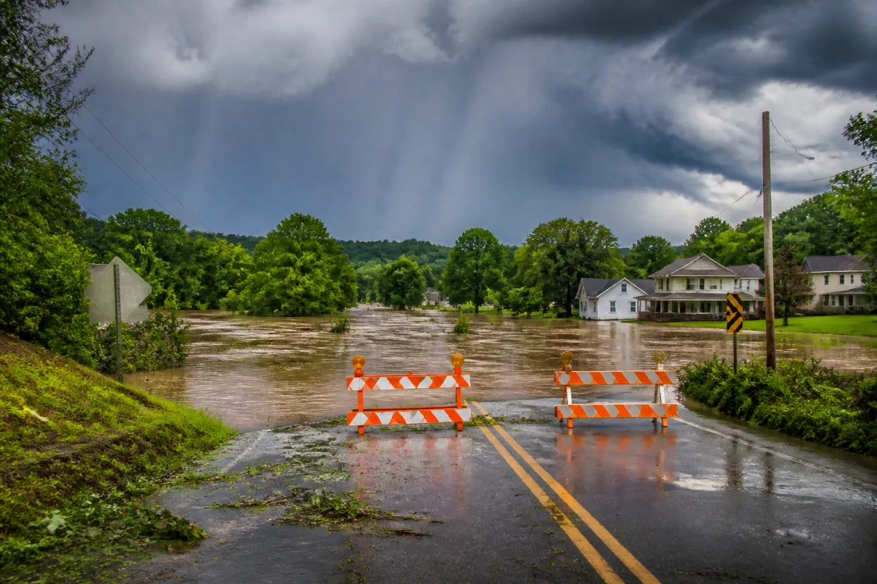
FRANKFORT, Ky. — A Flood Watch issued by the National Weather Service remains in effect through late Saturday night for much of central and eastern Kentucky, including the Lexington and Louisville areas, as repeated rounds of showers and thunderstorms move through the Commonwealth.
What forecasters say
The National Weather Service says multiple waves of storms are expected into the weekend, with periods of heavy rainfall that could produce flash flooding in low-lying and flood-prone locations. Soils across parts of the region are already saturated from recent rain, increasing the chance that additional downpours will produce significant runoff and cause creeks, streams and rivers to rise.
Who is affected and when
| Area | Watch in effect | Main concerns |
|---|---|---|
| Central Kentucky (including Lexington) | Through late Saturday night | Flash flooding of creeks, poor drainage flooding, flooded roadways |
| Eastern Kentucky | Through late Saturday night | Rising creeks and streams, localized flash flooding |
| Louisville area | Through late Saturday night | Urban and roadway flooding during heavy downpours |
Practical steps for residents
Officials urge residents to stay tuned to local forecasts and take simple precautions to reduce risk:
- Monitor National Weather Service updates and local emergency alerts.
- Avoid driving through flooded roadways — "Turn Around, Don’t Drown." Floodwaters can hide washed-out pavement.
- Move vehicles and valuables out of low-lying areas if possible.
- Be prepared for rapidly changing conditions if you live near creeks, streams or rivers.
The Flood Watch means conditions are favorable for flooding to develop; it is not a warning that flooding is occurring right now, but residents should be ready to take action if warnings are issued. With saturated ground already prevalent in parts of the state, even a brief period of heavy rain may lead to dangerous runoff and localized flooding.
Stay connected to trusted local news and weather services for the latest watches, warnings and safety guidance as the situation evolves through the weekend.