
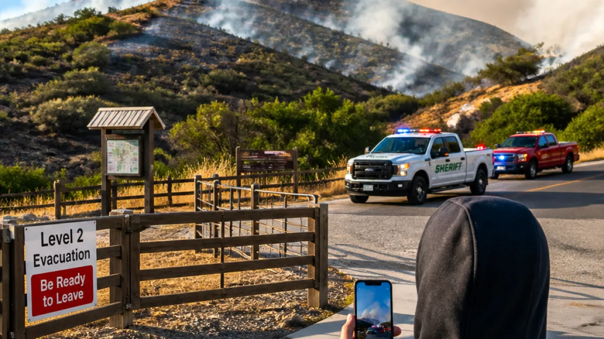
The Claremont Fire in the Boise Foothills has scorched more than 6,500 acres and is roughly 23% contained, officials said Friday as law enforcement and fire personnel asked the public for help determining how the blaze started.
Investigators asking for local observations, video
The Ada County Sheriff’s Office and the Boise Fire Department are asking anyone who was recreating in parts of the foothills or who lives nearby to check for and share information that could aid the probe. Authorities singled out three trail areas and several neighborhoods where unusual activity or camera footage could be relevant.
- Trails of interest: Military Reserve Connection Trail, Crestline Trail, Kestrel Trail (between noon and 2 p.m. on Monday)
- Neighborhoods asked to review footage: North Claremont Drive, North Mountain Cove Road, East Reserve Street
- How to report tips: call non-emergency dispatch at 208-377-6790, email acsotips@adacounty.id.gov or submit an anonymous tip through the Ada County Sheriff’s app (reference report ACS26-6055)
Cause likely human, agency says
Federal fire information officers have said the blaze is probably the result of human activity. Chad Cline, a fire information officer with the Bureau of Land Management, characterized the cause in brief comments to the Idaho Statesman.
“It is likely human caused.”
Authorities are asking anyone who saw suspicious vehicles, people, or other unusual activity in the foothills during the noon–2 p.m. window on Monday to come forward. Officials also requested that residents in the named streets review any surveillance, doorbell or trail-cam recordings taken before and after the initial ignition.
Evacuation levels and what they mean
Fire managers elevated evacuation statuses Friday evening for multiple zones in Boise County because crews were battling a spot fire ahead of the main perimeter that threatened containment lines. Local officials reminded residents of the three-tier evacuation system so people know how ready to be should conditions change.
| Metric | Value |
|---|---|
| Acres burned | 6,500+ |
| Containment | 23% |
| Evacuation status | Multiple zones elevated to Level 2 (Set) |
Under the county’s system, Level 1 (Ready) is an alert to be aware and monitor conditions; Level 2 (Set) tells residents to pack and be ready to leave at a moment’s notice; Level 3 (Go) means immediate evacuation. Authorities emphasized that Level 2 notifications require people to prepare to depart quickly if the situation worsens.
This fire underscores how summer human activity and the region’s dry fuels combine to produce fast-moving incidents that threaten homes and infrastructure in and around Boise. Officials urged residents to keep cameras and phone footage accessible and to report anything that could help identify the origin as investigators continue their work.