
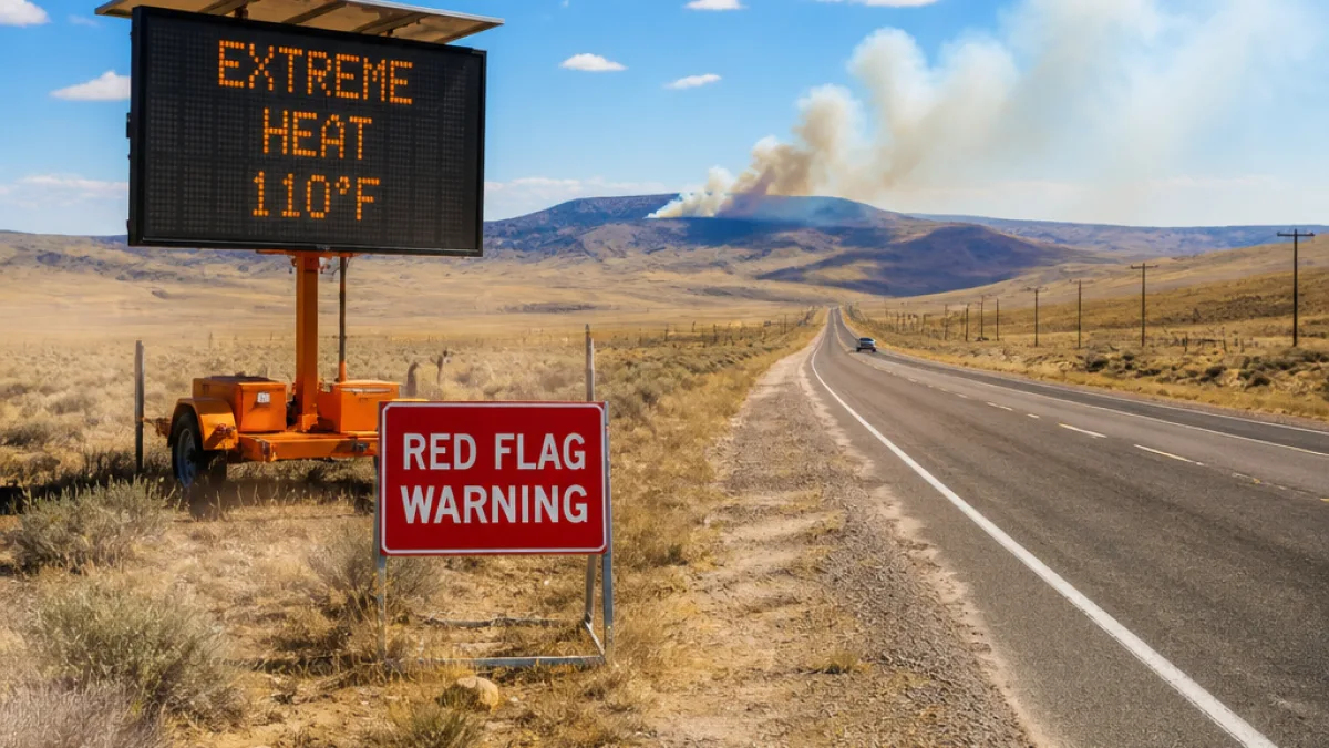
Wyoming will see widespread high temperatures through Monday, with the National Weather Service issuing extreme heat alerts for large portions of the state and localized fire-weather warnings in central counties.
Hot days and warm nights
Daytime highs across the state are forecast from the mid-80s to roughly 110 degrees, while overnight lows will generally range from the low 50s to the low 70s. Residents should expect mostly clear to partly cloudy skies and breezy conditions in many areas.
Key impacts include heat-related health risks for people without access to cooling and elevated fire danger in central Wyoming where dry, gusty winds could help fires spread.
- Extreme heat alerts remain in effect through Monday night for much of the state.
- Red-flag fire warnings are posted for parts of central Wyoming from 11 a.m. until 10 p.m.
- Winds may gust in some areas, increasing both heat stress for outdoor workers and wildfire risk.
Local readings and warnings
Below are representative forecasts and active warnings for communities across the state.
| Location | High (approx.) | Low (approx.) | Warnings |
|---|---|---|---|
| Casper | Near 101°F | Near 66°F | Extreme heat until Monday night; red-flag 11 a.m.–10 p.m. |
| Riverton | Near 104°F | Near 63°F | Extreme heat until Monday night; red-flag 11 a.m.–10 p.m. |
| Shoshoni | Near 104°F | Near 67°F | Extreme heat until Monday night; red-flag 11 a.m.–10 p.m.; gusts up to 28 mph |
| Jackson | Near 99°F | Near 58°F | Extreme heat until Monday night |
| Pinedale | Near 94°F | Near 55°F | Extreme heat until Monday night |
What residents should consider
People should take standard heat-safety precautions: stay hydrated, limit strenuous outdoor activity during the hottest hours, check on vulnerable neighbors and pets, and use cooling centers where available. Outdoor workers and recreational users should plan for high temperatures and possible gusty winds.
Because central Wyoming is under red-flag warnings during the afternoon and evening, officials advise avoiding open flames, not parking vehicles over dry grass, and refraining from burning debris. Those in affected areas should follow local fire restrictions and advisories from county fire officials.
Weather conditions can change quickly. For updates on warnings and local forecasts, consult the National Weather Service and county emergency management offices.