
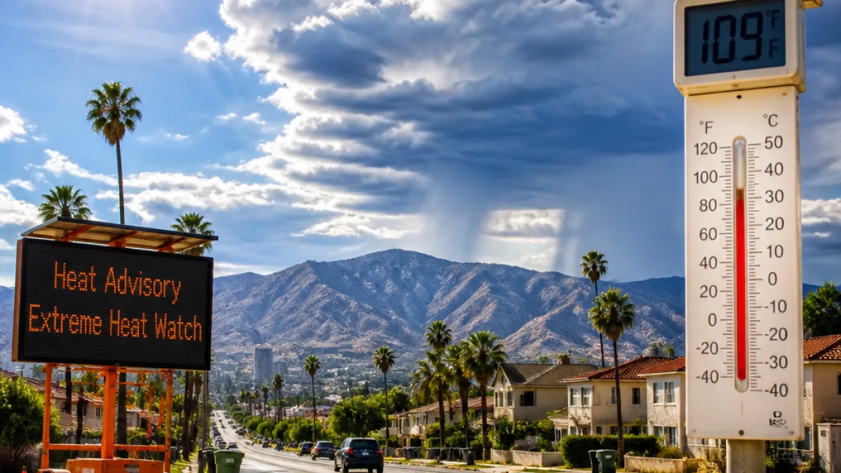
Southern California residents should prepare for a hot, humid and unsettled stretch this week as a strong ridge of high pressure funnels subtropical moisture into the region, pushing inland temperatures into the triple digits and prompting officials to extend heat warnings.
What changes for residents
The National Weather Service extended a Heat Advisory through 10 a.m. Tuesday, when it is expected to transition to an Extreme Heat Watch covering the hottest period through Thursday evening. Temperatures are forecast to climb each day into midweek and peak on Wednesday.
Many inland locations are expected to top 100°F, with several places approaching or reaching 110°F. The Weather Service specifically forecasts the San Fernando Valley to reach about 110°F on Wednesday. Coastal areas, often buffered from inland heat, may still see readings in the 90s by midweek.
"Monsoonal moisture moving over the area will add to the discomfort, also bringing the potential for showers and thunderstorms each day," the Weather Service said.
Thunderstorms, timing and impacts
Subtropical moisture drawn into the region increases the chance of afternoon and evening showers and thunderstorms, particularly over the mountain and desert zones. The combination of extreme heat and elevated humidity will make conditions feel more oppressive and may complicate heat risk management.
- Peak heat: Wednesday, with many inland spots above 100°F and some near 110°F.
- Advisory period: Heat Advisory until 10 a.m. Tuesday, then an Extreme Heat Watch through Thursday evening.
- Thunderstorm risk: Higher over mountains and deserts due to monsoonal moisture.
Officials recommend limiting strenuous outdoor activity during the hottest parts of the day and completing outdoor work as early as possible. The Weather Service says the high-pressure ridge should begin to weaken Thursday, bringing afternoon highs closer to normal by Friday.
| Day | Forecast |
|---|---|
| Tuesday | Rising heat; Heat Advisory until 10 a.m.; humid conditions increase |
| Wednesday | Peak heat — many spots >100°F; some areas near 110°F; storm chances in mountains/deserts |
| Thursday | Extreme Heat Watch continues through evening; gradual weakening of ridge |
| Friday | Temperatures fall toward normal as ridge weakens |
Residents should pay attention to local warnings, stay hydrated, check on vulnerable neighbors and pets, and consider cooling centers or shaded, air-conditioned locations during peak heat. Storms in the mountains and deserts can bring lightning and brief heavy rain, which may cause localized hazards even as heat remains the dominant threat.
Coverage and guidance in this report draw from the National Weather Service alerts and local forecasts shared by KTLA.