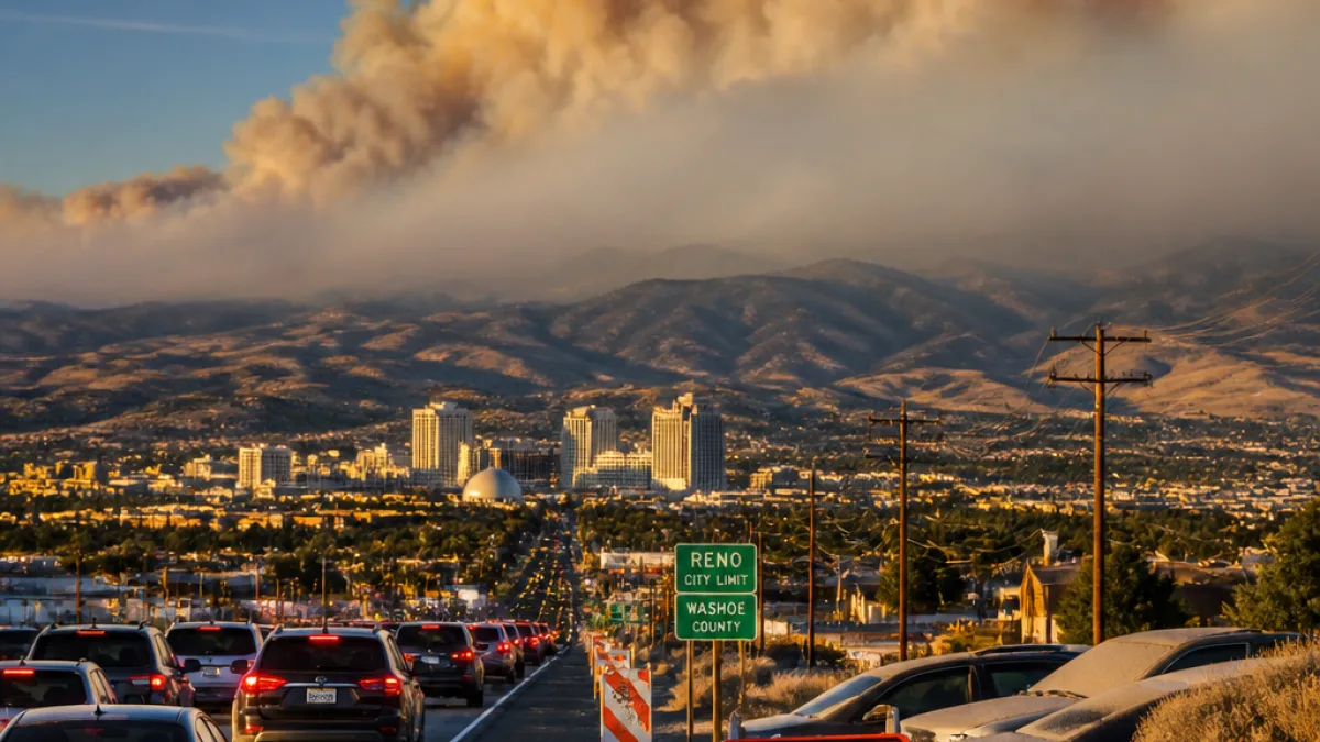
Reno — Plumes from the Elephant Fire were visible over Reno on Monday, prompting concern among residents who initially feared a local blaze. Officials say the smoke originated from the nearby wildfire, which has consumed more than 6,442 acres and remains only lightly contained.
Where the smoke is coming from and who is affected
The National Weather Service warned that smoke from area wildfires, including the Elephant Fire, may result in areas of degraded air quality as northerly winds carry smoke along the US-395 corridor. The NWS specifically cited potential impacts into the North Valleys, Reno/Sparks, Carson City, Carson Valley, the Tahoe Basin and the West Nevada Basin and Range.
"Smoke from area wildfires, including the Elephant Fire, may result in areas of degraded air quality tonight as northerly winds transport smoke along the US-395 corridor..."
Social media posts and videos from Reno neighborhoods such as Caughlin Ranch, as well as from nearby Loyalton, showed orange-tinged skies and visible smoke layers. A Tahoe National Forest post shared aerial views of the active fire and described ongoing firefighting challenges.
Fire status and orders
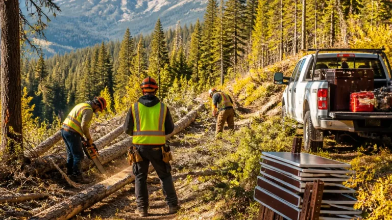
The U.S. Forest Service reported the fire was roughly 5% contained and said ridgetop winds, dry fuels and steep terrain were complicating suppression efforts. Evacuation and warning orders were issued in parts of Lassen and Plumas counties.
| Detail | Current report |
|---|---|
| Approximate acres burned | over 6,442 acres |
| Containment | 5% |
| Evacuation status | Order: Zone LAS-451-A (Lassen County). Warnings: Zones LAS-671-B (Lassen County), PLU-104-A and PLU-114 (Plumas County). |
Officials urged residents in the named zones to be prepared to evacuate if conditions worsen. The Forest Service and local agencies have not reported an active blaze inside Reno city limits; the smoke visible over the city is from the Elephant Fire.
What residents should know and do
For communities seeing smoke, health and safety steps can reduce risk. Consider the following guidance for smoke conditions:
- Limit outdoor activities while smoke is present, especially for children, older adults and those with respiratory conditions.
- Keep windows and doors closed and set vehicle air systems to recirculate to limit smoke entry.
- Follow local evacuation orders and warnings; have a plan and a go-bag ready if you live in an affected zone.
Local public health and emergency management agencies will provide updates on air quality, evacuation changes and resources. Residents can check the National Weather Service and U.S. Forest Service-Tahoe National Forest social channels for maps and official advisories.
For now, the visible smoke serves as a reminder of how quickly wildfires can affect neighboring communities and air quality across the region. Local agencies continue firefighting work and monitoring conditions as winds move smoke through the valley.
Reporting from Reno.