
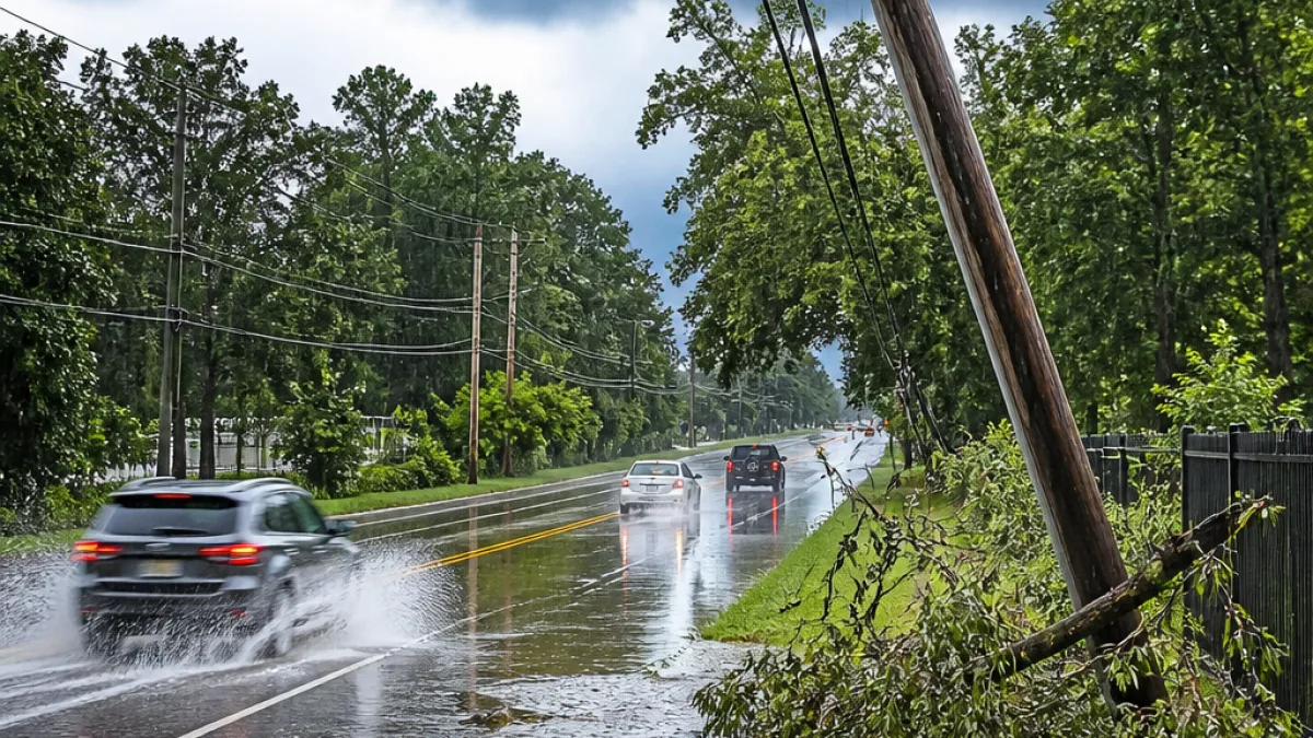
Greenville, S.C. — A Severe Thunderstorm Watch is in effect Sunday for portions of the Upstate, raising the risk of damaging winds, large hail and flash flooding for storms that develop this afternoon and evening.
Who’s under the watch and how long it lasts
The National Weather Service has included the following counties in the watch through 9 p.m. Sunday:
- Abbeville County
- Elbert County
- Greenwood County
- Laurens County
- Union County
Residents in these areas should prepare for strong winds, localized flash flooding and the possibility of hail depending on storm strength and track.
What to expect and what to do
Any storms that form this afternoon or evening could become severe. Primary threats include:
- Damaging straight-line winds that can down trees and power lines.
- Flash flooding in low-lying or poor drainage areas, especially where heavy rain falls in a short time.
- Hail from stronger storm cores.
Officials advise people to monitor local forecasts and alerts and to avoid driving through flooded roadways. If a severe thunderstorm warning is issued for your area, seek shelter indoors away from windows and secure loose outdoor items.
“Our goal every day, in every forecast, is accuracy,” said WYFF 4 President and General Manager Blake Bridges.
WYFF News 4’s weather team, which operates a 24/7 radar system in the market, recommends using live radar and skycams for short-term tracking of developing storms. You can also check the National Weather Service and local emergency management for official warnings and county-level guidance.
| Watch area | Watch end time |
|---|---|
| Abbeville, Elbert, Greenwood, Laurens, Union | 9:00 p.m. Sunday |
Local context
Severe weather in the Upstate and adjacent mountain areas can be fast-moving and spotty. Topography influences storm development and rainfall distribution, increasing the potential for sudden rises in creeks and streams.
WeatheRate, an independent firm that evaluates forecast accuracy, recently certified a local station for market-leading forecasts — a reminder that consumers should use trusted, timely sources during hazardous events. As WeatheRate President Bruce Fixman noted, forecasting in the Upstate and mountain areas presents unique challenges.
Keep a battery-powered radio or charged phone, review your family emergency plan, and avoid driving through flooded areas. Continue to follow local weather updates and seek shelter immediately if warnings are issued for your neighborhood.