
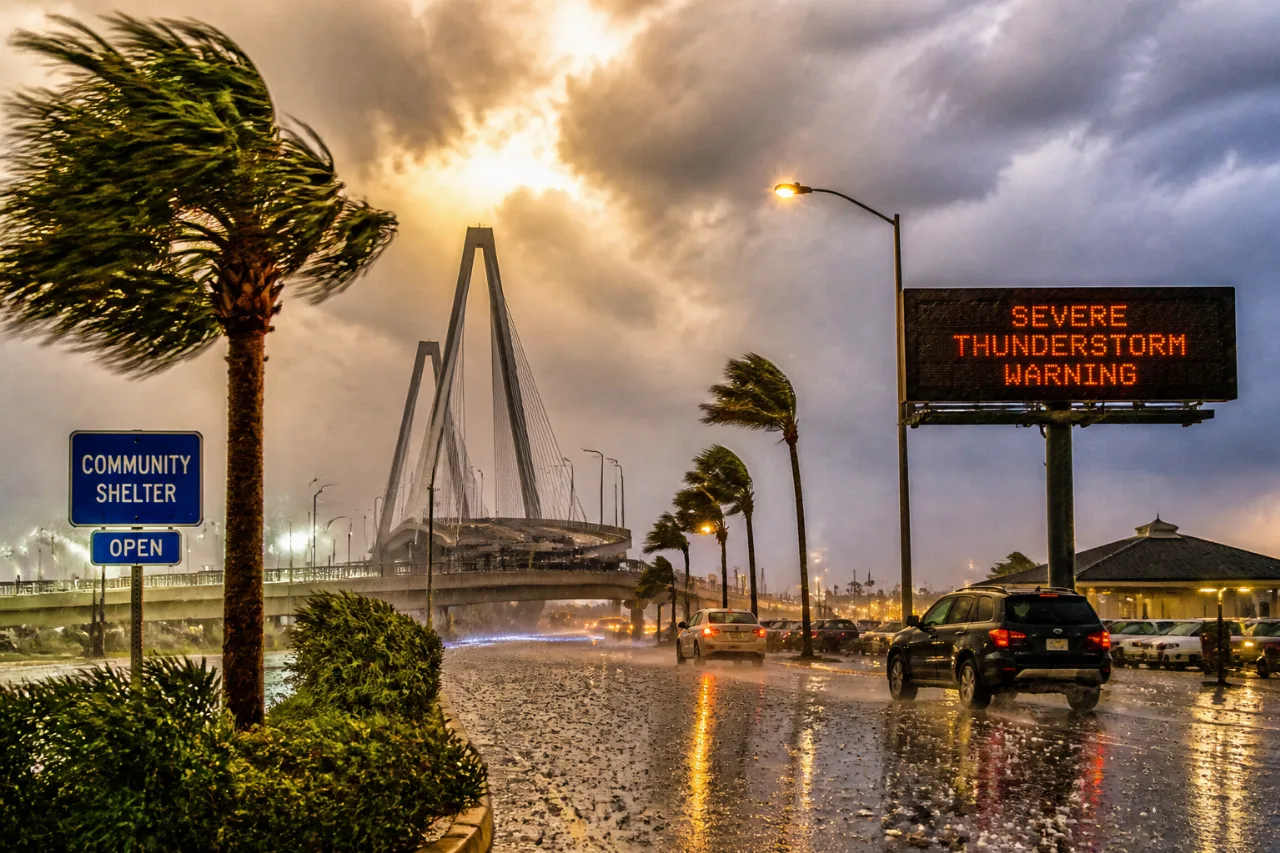
CHARLESTON — A severe thunderstorm warning issued Friday afternoon by the National Weather Service in Charleston covers parts of Charleston and Berkeley counties and brings a short but dangerous window of strong winds and hail that could affect homes, vehicles and travel across the metro area.
The warning was released at 3:05 p.m. and was set to remain in effect until 3:30 p.m., with the NWS reporting a storm cell located over the Don Holt Bridge and moving east at 30 mph. Officials warned of wind gusts that could reach up to 60 mph and hail as large as one inch in diameter.
What residents should do now
- Move indoors: Seek shelter inside a well-built structure and stay away from windows.
- Protect vehicles: Park under cover if possible—hail can dent cars and break glass.
- Avoid travel: Expect hazardous conditions on key highways and bridges; consider delaying trips until the storm passes.
The NWS highlighted the potential for property damage and urged people to take the warning seriously. In its briefing, the agency cautioned about both hail and wind impacts.
"Hail damage to vehicles is expected. Expect wind damage to roofs, siding, and trees."
Areas and routes most at risk
The warning specifically listed communities and corridors where the storm could cause problems, including North Charleston, Mount Pleasant, Goose Creek, Hanahan, Daniel Island, Downtown Charleston and West Ashley. Key infrastructure points named by the NWS include the Don Holt Bridge and the Charleston Naval Complex.
| Highway | Affected mile markers |
|---|---|
| I-26 | 210–219 |
| I-526 | 15–29 |
Motorists traveling through the area should be prepared for sudden strong gusts and the possibility of hail striking vehicles. The NWS noted the storm was moving east, which could push hazardous conditions toward the downtown peninsula and adjacent suburbs.
Why this matters for Charleston
Even brief bursts of 60-mph winds and inch-size hail can topple large limbs, damage roofs and siding, and leave debris on roadways. That can lead to power outages, blocked streets and risks for anyone caught outdoors. Emergency responders and local public works crews typically respond to downed trees and wires following such events, which can temporarily disrupt commutes and services.
The National Weather Service advised staying inside until the storm passes and avoiding contact with corded phones, plumbing and windows while sheltered. Residents should monitor local emergency channels and the NWS for updates if the warning is extended or storms redevelop.
For the latest conditions and any follow-up warnings, check the National Weather Service Charleston office updates and local emergency management announcements.