
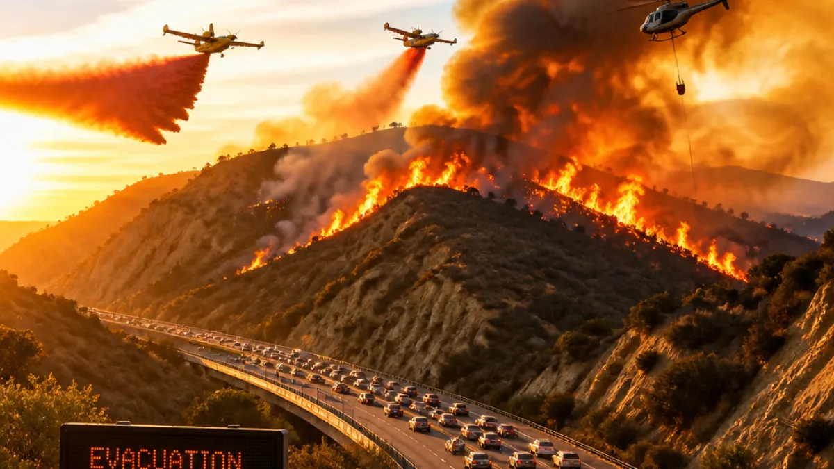
Los Angeles residents in the Antelope Valley and foothill communities should expect continued disruption after the fast-moving Summit Fire exploded across rugged terrain on Friday, burning more than 2,500 acres and triggering evacuation orders and warnings for neighborhoods near Llano.
The Los Angeles County Fire Department reported the fire had burned approximately 2,581 acres and was 0% contained as of 10 p.m. local time Friday. By 9 a.m. PT Saturday, updated incident maps showed the blaze had grown to about 2,677 acres and remained uncontained.
What residents need to know now
Emergency officials have issued evacuation orders and warnings affecting parts of Los Angeles and San Bernardino counties. The fire is burning near Piñon Hills along the county line and threatens the northern edge of the Angeles National Forest, placing small communities and wildland-urban interface areas at immediate risk.
- Expect evacuation orders and evacuation warnings — follow directions from county and local emergency agencies.
- Air operations are active: air tankers and helicopters have been deployed to support firefighting efforts.
- Hot, dry and windy conditions are fueling active fire behavior; containment is likely to be difficult over the weekend.
Fire managers say dangerous fire weather — a combination of extreme heat, critically dry vegetation and periods of gusty afternoon winds — is expected to sustain active fire behavior into the weekend. Although much of California, including Los Angeles County, is not currently in drought, the heat is drying fuels and enabling rapid spread.
Operations and hazards
An "army" of air tankers and helicopters has been assigned to the incident to attack the blaze from the air while ground crews work in rugged terrain. Officials have cautioned that steep slopes and difficult access are complicating suppression efforts and increasing risk to firefighters.
Residents should also prepare for secondary impacts: degraded air quality downwind of the fire, potential road closures and limited access for some communities as evacuation traffic increases. Utility and transportation agencies may issue advisories as conditions evolve.
| Timestamp | Acreage | Containment |
|---|---|---|
| Friday, 10:00 p.m. (LACoFD) | 2,581 acres | 0% |
| Saturday, 9:00 a.m. (updated) | 2,677 acres | 0% |
Local emergency agencies, including the Los Angeles County Fire Department and county emergency management offices, are the primary sources for evacuation maps, shelter locations and safety instructions. Residents should monitor official county social channels, local news and the National Weather Service for the latest fire weather forecasts and air quality alerts.
As crews work to build containment lines, the combination of triple-digit heat and gusty winds will remain the chief obstacle. Officials warn that the situation could change rapidly and urge residents in affected areas to heed evacuation notices immediately.