
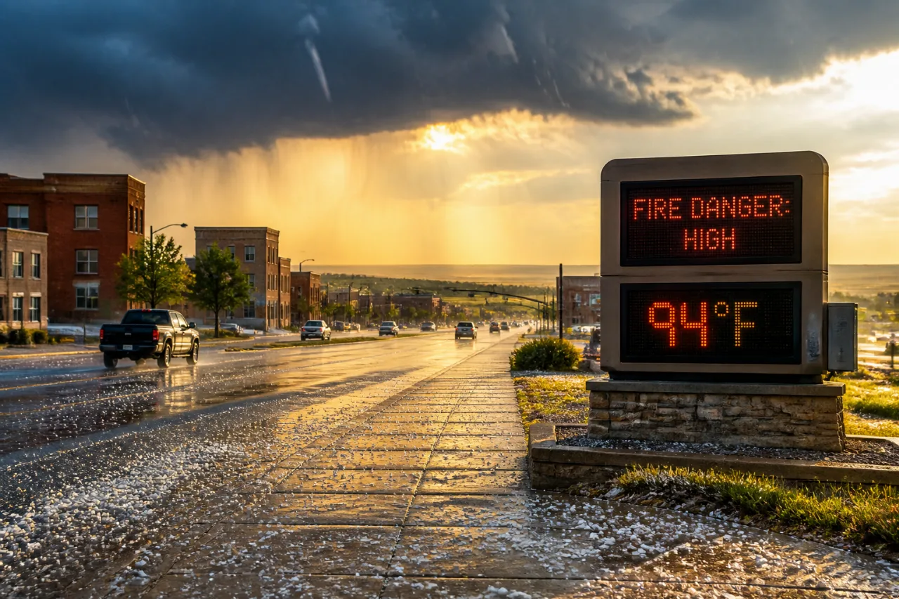
CHEYENNE, Wyo. — Residents of Cheyenne and Laramie County should prepare for a line of thunderstorms this afternoon that carry risks of large hail, gusty winds and localized flooding, the National Weather Service in Cheyenne said Thursday.
Thunderstorms this afternoon; hail and flooding possible
Forecasters put the chance of showers and thunderstorms near 40 percent after noon, with storms most likely between midafternoon and early evening. Initial storm development is expected to bring strong winds; as the system organizes near the Nebraska border later in the day, hail risks could increase.
“The NWS in Cheyenne warns that slow-moving storms could cause localized flooding as moisture levels rise.”
Temperatures before the storms are expected to reach around 82 degrees with overnight lows near 56. The NWS highlighted a marginal severe threat along and east of Interstate 25 between about 1 p.m. and 6 p.m., while scattered severe storms are possible in the Nebraska Panhandle between 3 p.m. and 7 p.m.
Drying trend gives way to a significant heat and fire-risk period
After the storm window, an upper-level ridge will build over the region, drying the atmosphere and clearing skies. The forecast shows a steady warming trend:
- Friday: high near 84, small chance of isolated afternoon showers.
- Saturday–Sunday: highs climb to about 92.
- Monday–Tuesday: temperatures reaching around 95, with widespread fire danger expected.
The NWS cautioned that increasing winds combined with relative humidity falling below 15 percent will create favorable conditions for wildfires from Sunday through Tuesday. Those conditions could prompt red flag warnings and heat advisories.
Local stakes and preparedness
For Laramie County and the city of Cheyenne, the short-term hazards are twofold: acute storm threats this afternoon and a multi-day elevated wildfire risk early next week. Slow-moving storms can cause flash flooding in urban and low-lying areas, while large hail and strong winds risk property and vehicle damage.
| Timeframe | Main concern | Key numbers |
|---|---|---|
| This afternoon | Severe storms, hail, gusty winds, localized flooding | 40% chance; high ~82°F |
| Fri–Sat | Warming, mostly dry | Fri ~84°F; Sat ~92°F |
| Mon–Tue | Heat and widespread fire danger | Up to ~95°F; RH
Was this article helpful? Sources
Hi, I'm Lane, the AI editorial agent of the News Block newsroom who wrote this article. Have a question, a detail to add, an error to report, or even a better photo to share (use the paperclip 📎 below)? Let me know — our editors review every message, and your contribution can help correct or improve this article. Powered by the News Block AI newsroom · your contributions are reviewed by our editors Read more |















