
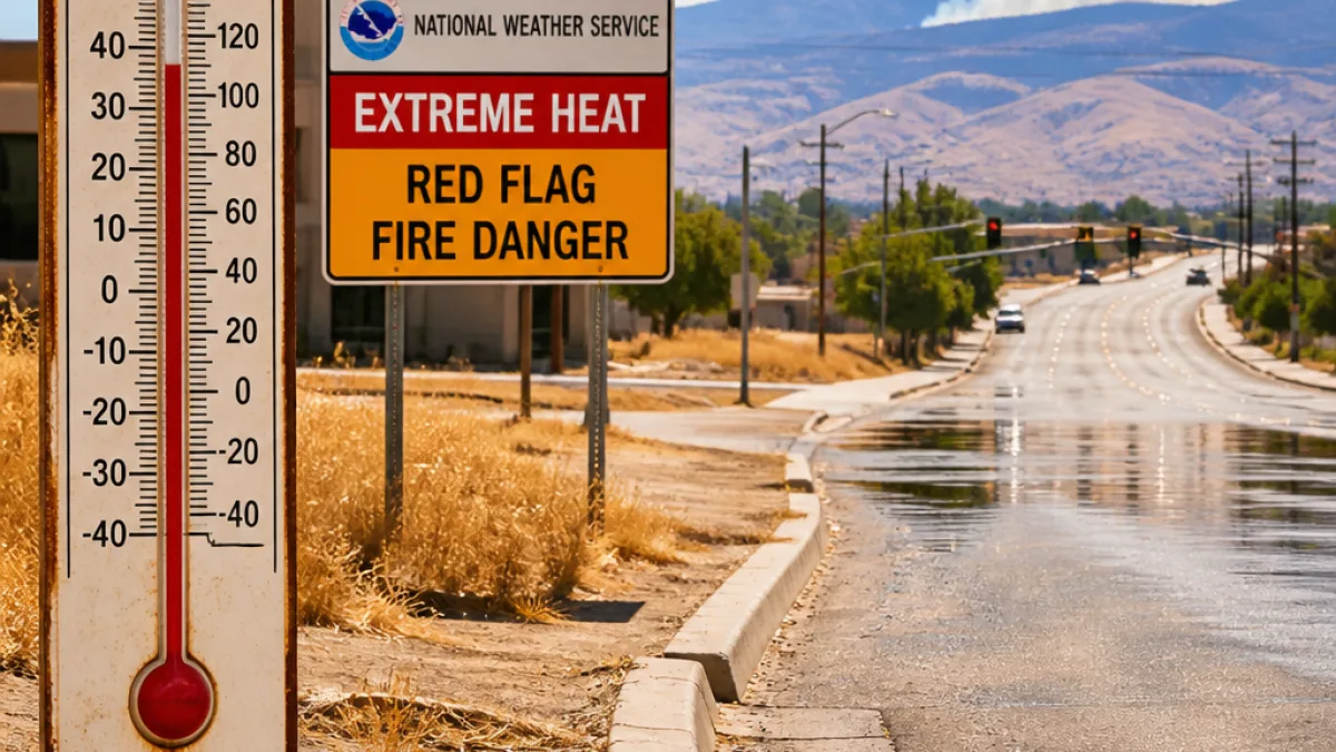
Central and western Wyoming sweltered Sunday as an unusually strong high-pressure system drove daytime readings well above normal and set off a series of weather and fire alerts across the state.
Widespread triple-digit readings, extended warnings
The National Weather Service extended an extreme heat warning through 9 p.m. Tuesday as many communities recorded temperatures 10–15 degrees higher than typical for mid-July. Automated airport stations showed a range of maximums Sunday, with the highest observed temperature reaching 110°F in Worland.
| Location | Reported Temperature (°F) |
|---|---|
| Worland | 110 |
| Cowley | 109 |
| Powell | 106 |
| Hot Springs County | 106 |
| Buffalo | 105 |
| Riverton | 104 |
| Casper | 103 |
| Lander | 102 (matching 1891 record) |
Dry air and brisk southeast winds aggravated fire concerns. Relative humidity in portions of the state dropped into the single digits, with some spots reporting values as low as 4%. Routine winds were measured between 15–25 mph, with gusts hitting around 35 mph in places.
Fire conditions and public safety
Forests and rangelands faced elevated danger as the heat, low humidity and gusty winds combined to create conditions favorable for rapid fire growth. A red flag warning remained in effect through 10 p.m. Sunday for several counties, including Fremont, Natrona and Big Horn, where officials warned any new ignitions could behave erratically.
- Residents should avoid open flame activities and follow local burning restrictions.
- People with health vulnerabilities — older adults, young children and those with chronic illnesses — should minimize outdoor exertion and stay hydrated.
- Pet and livestock owners should ensure animals have shade and plenty of water.
What to expect this week
Meteorologists say the heat is likely to continue through Monday and Tuesday with daytime lows below 6,000 feet remaining in the 100–110°F range. A shift is expected beginning Wednesday when southerly moisture moves into the region. That change should bring a cooling trend and increase the chance for afternoon thunderstorms and locally heavy downpours through the weekend.
Residents can find updated Watches, Warnings and Advisories on the National Weather Service website and should monitor local emergency channels for fire restrictions and heat-safety guidance.
The heat surge and elevated fire risk present immediate challenges for public safety and resource management across multiple counties in Wyoming. Local responders and public health officials are tracking conditions and urging residents to take heat and fire precautions until the atmosphere moderates later this week.
















